rund ums Jägerhaus
- 22.7 km
- 445 m
- 445 m
- Schwarzenberg, Saxony, Germany
A cycling route starting in Schwarzenberg, Saxony, Germany.
Overview
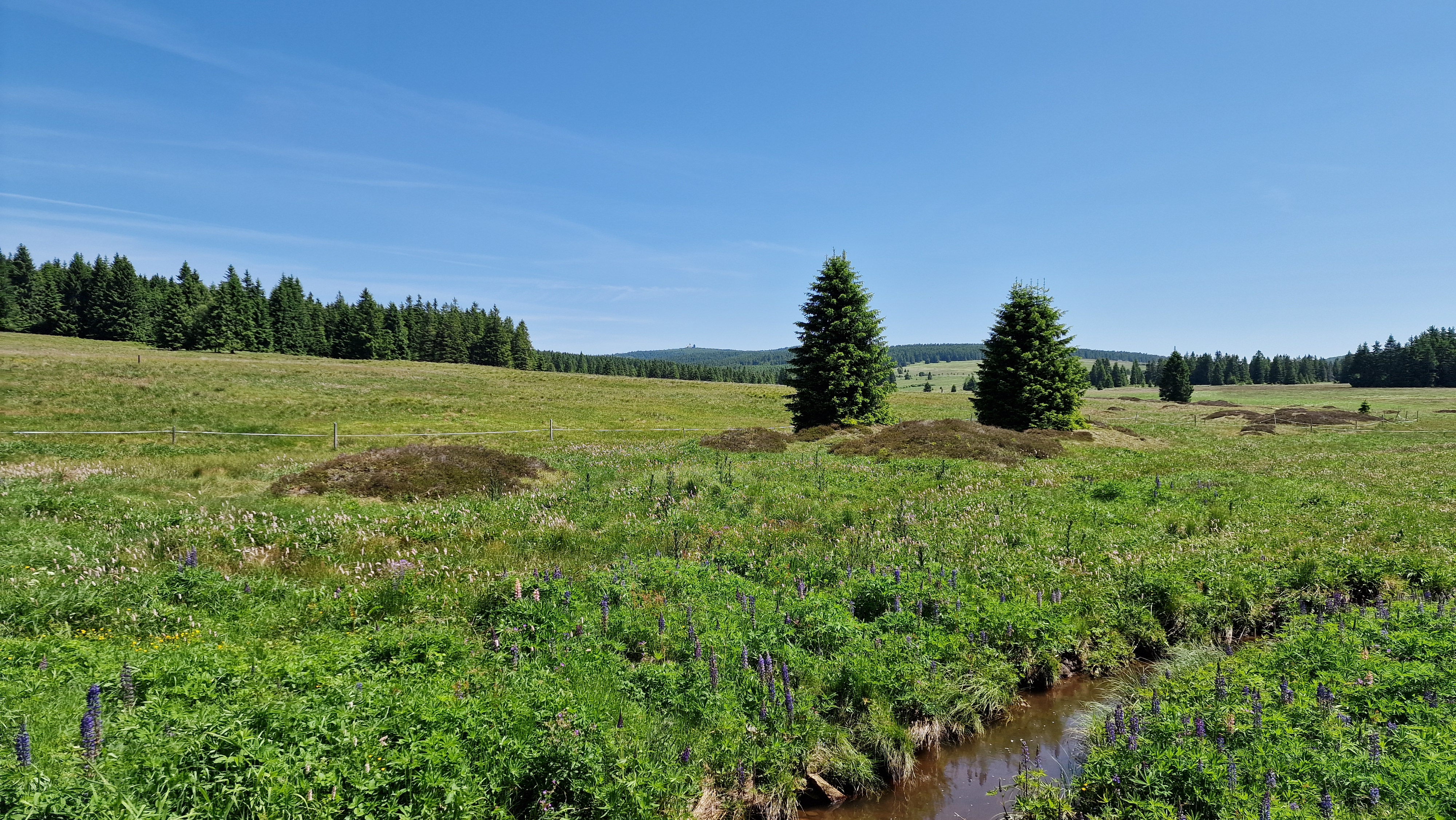
Mountain with an initially easy incline, getting steeper later on, but very pleasant to ride...}}
created this 16 years ago
Route quality
Quiet road
0.4 km
(10 %)
Access road
0.1 km
(3 %)
Undefined
3.4 km
(87 %)
Paved
1.3 km
(33 %)
Asphalt
1.3 km
(33 %)
Undefined
2.6 km
(67 %)
Continue with Bikemap
You would like to ride Auffahrt Szb - Beierfeld /Spiegelwald or customize it for your own trip? Here is what you can do with this Bikemap route:
Free trial for 3 days, or one-time payment. More about Bikemap Premium.
Discover more Premium features.
Get Bikemap PremiumFrom our community
Open it in the app