
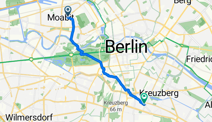
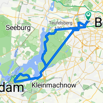
Birkenstraße, Berlin nach Blücherstraße, Berlin
A cycling route starting in Moabit, State of Berlin, Germany.
Overview
About this route
- 2 h 54 min
- Duration
- 7.1 km
- Distance
- 18 m
- Ascent
- 18 m
- Descent
- 2.5 km/h
- Avg. speed
- 45 m
- Max. altitude
Continue with Bikemap
Use, edit, or download this cycling route
You would like to ride Birkenstraße, Berlin nach Blücherstraße, Berlin or customize it for your own trip? Here is what you can do with this Bikemap route:
Free features
- Save this route as favorite or in collections
- Copy & plan your own version of this route
- Sync your route with Garmin or Wahoo
Premium features
Free trial for 3 days, or one-time payment. More about Bikemap Premium.
- Navigate this route on iOS & Android
- Export a GPX / KML file of this route
- Create your custom printout (try it for free)
- Download this route for offline navigation
Discover more Premium features.
Get Bikemap PremiumFrom our community
Other popular routes starting in Moabit
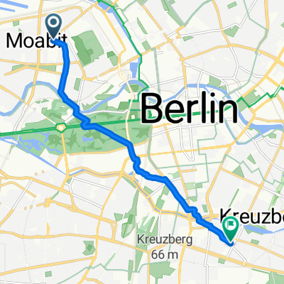 Birkenstraße, Berlin nach Blücherstraße, Berlin
- Distance
- 7.1 km
- Ascent
- 18 m
- Descent
- 18 m
- Location
- Moabit, State of Berlin, Germany
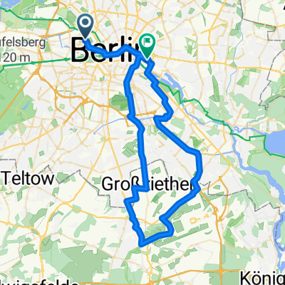 kreis 1 mit jürgen
- Distance
- 63.3 km
- Ascent
- 226 m
- Descent
- 224 m
- Location
- Moabit, State of Berlin, Germany
 Trainingsstrecke 03
- Distance
- 33.2 km
- Ascent
- 127 m
- Descent
- 128 m
- Location
- Moabit, State of Berlin, Germany
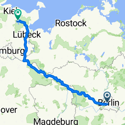
 Von Berlin bis Genthin
- Distance
- 362.2 km
- Ascent
- 945 m
- Descent
- 944 m
- Location
- Moabit, State of Berlin, Germany
 Unbenannte Route
- Distance
- 398.2 km
- Ascent
- 1,156 m
- Descent
- 1,147 m
- Location
- Moabit, State of Berlin, Germany
 Stadtrundfahrt im Berliner Innenbereich
- Distance
- 36.4 km
- Ascent
- 101 m
- Descent
- 99 m
- Location
- Moabit, State of Berlin, Germany
 01 berlin - fluss wisla
- Distance
- 621.1 km
- Ascent
- 2,845 m
- Descent
- 2,838 m
- Location
- Moabit, State of Berlin, Germany
 Training So 2012-08-05
- Distance
- 48.4 km
- Ascent
- 209 m
- Descent
- 207 m
- Location
- Moabit, State of Berlin, Germany
Open it in the app