
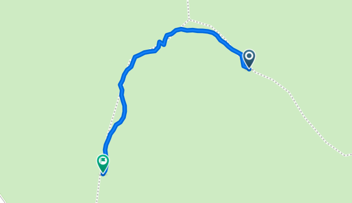
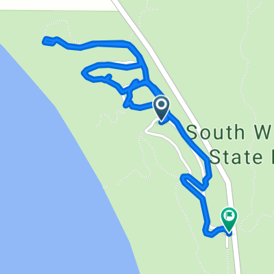
48.062, -122.592 to 48.061, -122.595
A cycling route starting in Freeland, Washington, United States.
Overview
About this route
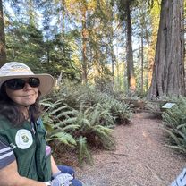
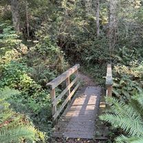
Wilbert Trail by Ancient Cedar Tree Wilbur, south Whidbey State Park, Washington
- 33 min
- Duration
- 0.6 km
- Distance
- 25 m
- Ascent
- 35 m
- Descent
- 1.2 km/h
- Avg. speed
- 69 m
- Max. altitude
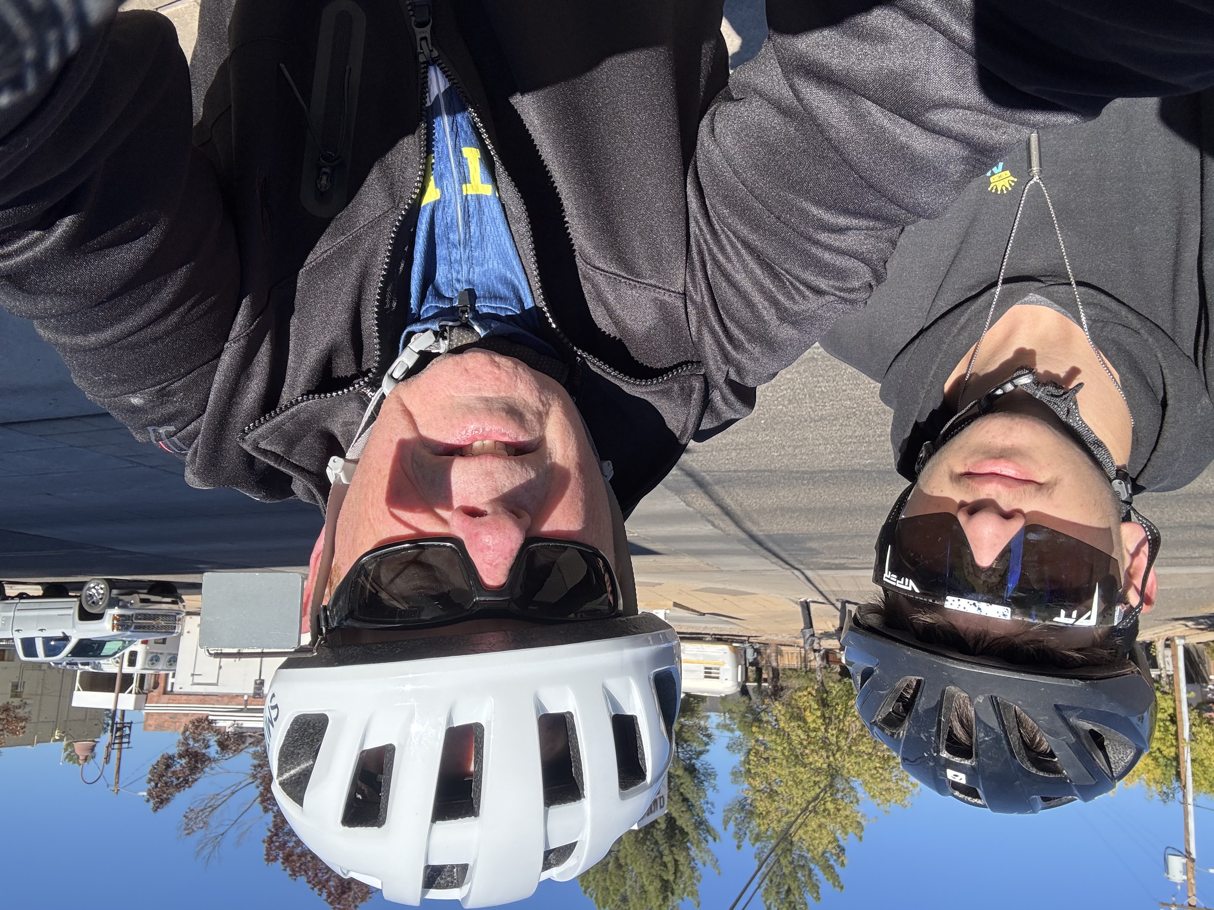
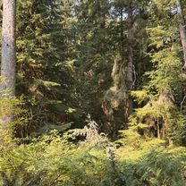
Route photos


Route quality
Waytypes & surfaces along the route
Waytypes
Path
0.6 km
(100 %)
Surfaces
Unpaved
0.6 km
(100 %)
Ground
0.6 km
(100 %)
Continue with Bikemap
Use, edit, or download this cycling route
You would like to ride 48.062, -122.592 to 48.061, -122.595 or customize it for your own trip? Here is what you can do with this Bikemap route:
Free features
- Save this route as favorite or in collections
- Copy & plan your own version of this route
- Sync your route with Garmin or Wahoo
Premium features
Free trial for 3 days, or one-time payment. More about Bikemap Premium.
- Navigate this route on iOS & Android
- Export a GPX / KML file of this route
- Create your custom printout (try it for free)
- Download this route for offline navigation
Discover more Premium features.
Get Bikemap PremiumFrom our community
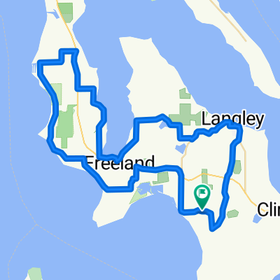
Other popular routes starting in Freeland
 sunlight, swede hill, east harbor loop, 38 mi
- Distance
- 61.2 km
- Ascent
- 680 m
- Descent
- 680 m
- Location
- Freeland, Washington, United States
 ppppp
ppppp- Distance
- 64.1 km
- Ascent
- 572 m
- Descent
- 572 m
- Location
- Freeland, Washington, United States
 sunlight beach swede hill langley loop
- Distance
- 46.7 km
- Ascent
- 569 m
- Descent
- 592 m
- Location
- Freeland, Washington, United States
 South Whidbey State Park Campground - HIKING
- Distance
- 7.3 km
- Ascent
- 291 m
- Descent
- 293 m
- Location
- Freeland, Washington, United States
 48.062, -122.592 to 48.061, -122.595
- Distance
- 0.6 km
- Ascent
- 25 m
- Descent
- 35 m
- Location
- Freeland, Washington, United States
 Beach Trail, Greenbank to Beach Trail, Freeland
- Distance
- 0.9 km
- Ascent
- 49 m
- Descent
- 44 m
- Location
- Freeland, Washington, United States
 1796 Main St, Freeland to 4400 Campbell Rd, Clinton
- Distance
- 15.7 km
- Ascent
- 339 m
- Descent
- 253 m
- Location
- Freeland, Washington, United States
 Smugglers Cove Rd, Freeland to Smugglers Cove Rd, Freeland
- Distance
- 2.6 km
- Ascent
- 61 m
- Descent
- 54 m
- Location
- Freeland, Washington, United States
Open it in the app