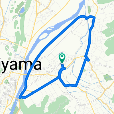
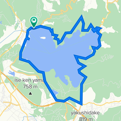
野尻湖周回
- 17 km
- 309 m
- 302 m
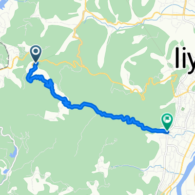
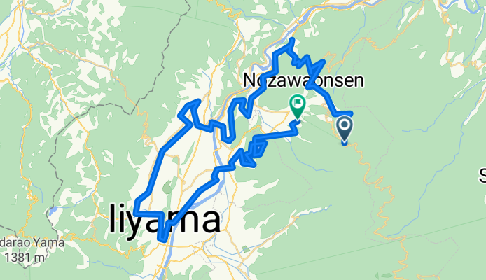
- Iiyama, Nagano, Japan
A cycling route starting in Iiyama, Nagano, Japan.
Overview
created this 3 months ago
Continue with Bikemap
You would like to ride 8372番地4 まで7701−1 or customize it for your own trip? Here is what you can do with this Bikemap route:
Free trial for 3 days, or one-time payment. More about Bikemap Premium.
Discover more Premium features.
Get Bikemap PremiumFrom our community
Open it in the app