Feierabendrunde Angelbachtal 2
- 21.1 km
- 174 m
- 174 m
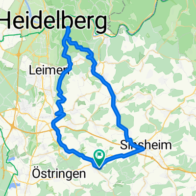
- Balzfeld, Baden-Wurttemberg, Germany
A cycling route starting in Balzfeld, Baden-Wurttemberg, Germany.
Overview
The route is mostly flat with a few ascents, some of which can be quite steep. Most of the route runs along paved bike paths or field roads. The gravel sections pose no problems even for a touring bike. Only the 100m passes along a small path through the forest, on the tour between Schatthausen and Mauer. However, this can be easily avoided. Just stay 30m further on the forest path, then keep left, saving some energy. Once you arrive at the destination in Dilsberg, you should at least visit the fortress on the recorded route. Those who have a bit more time can explore the castle and the tunnel (entrance fee 2€). It's definitely worth it.
created this 17 years ago
Route quality
Track
24.4 km
49 %
Quiet road
8.5 km
17 %
Paved
32.9 km
(66 %)
Unpaved
9.5 km
(19 %)
Asphalt
29.9 km
60 %
Gravel
5 km
10 %
Continue with Bikemap
You would like to ride Hoffenheim Dilsberg Hoffenheim or customize it for your own trip? Here is what you can do with this Bikemap route:
Free trial for 3 days, or one-time payment. More about Bikemap Premium.
Discover more Premium features.
Get Bikemap PremiumFrom our community
Open it in the app