
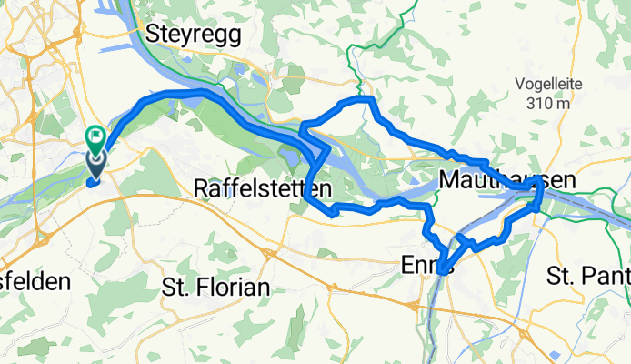
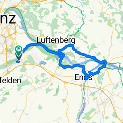
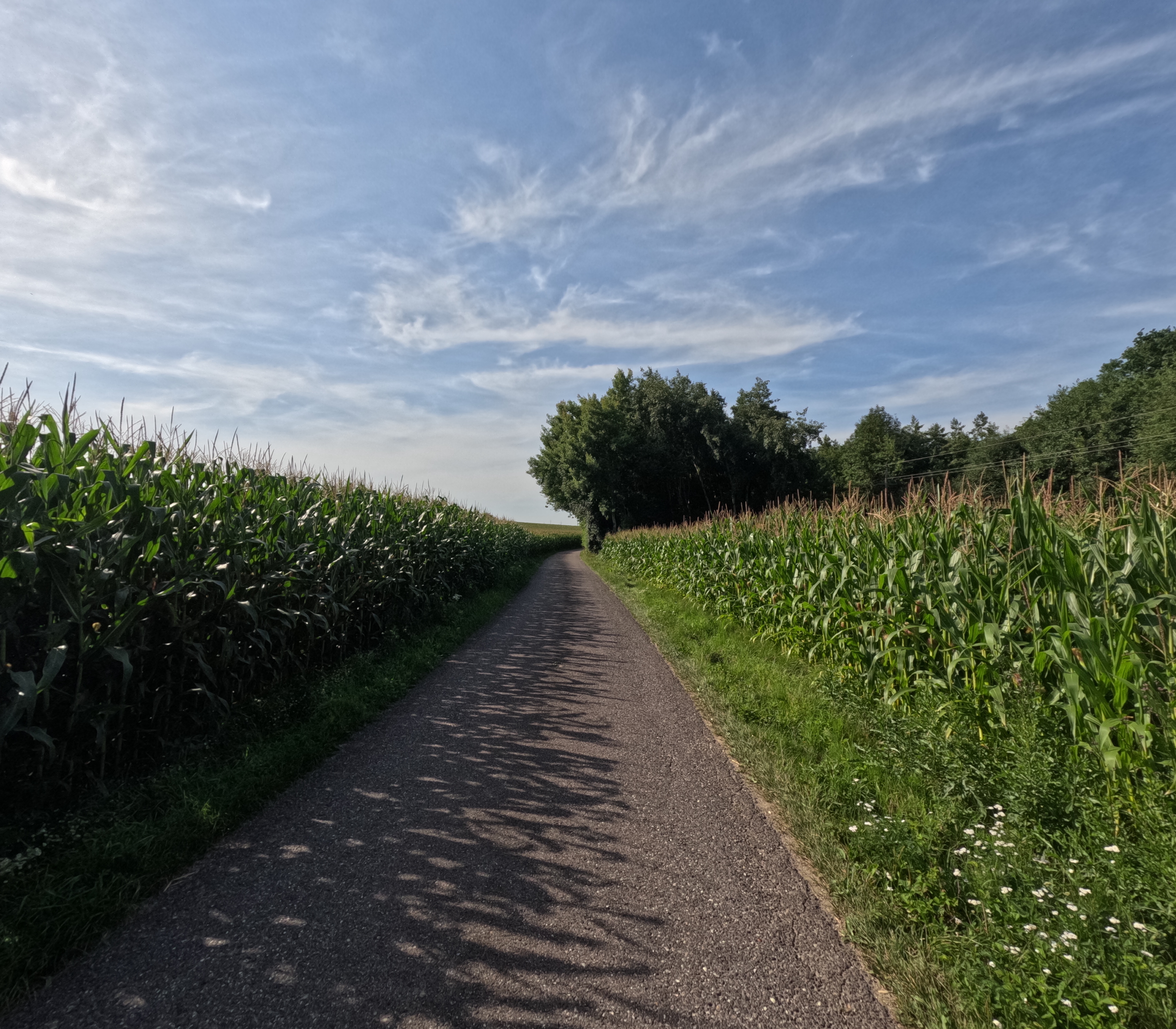
Hartheimerstraße, Linz nach Ebelsberg, Linz
A cycling route starting in Ansfelden, Upper Austria, Austria.
Overview
About this route
- 2 h 45 min
- Duration
- 48.7 km
- Distance
- 132 m
- Ascent
- 133 m
- Descent
- 17.7 km/h
- Avg. speed
- 259 m
- Max. altitude

Route quality
Waytypes & surfaces along the route
Waytypes
Cycleway
15.1 km
(31 %)
Quiet road
13.6 km
(28 %)
Surfaces
Paved
42.9 km
(88 %)
Asphalt
42.9 km
(88 %)
Undefined
5.8 km
(12 %)
Continue with Bikemap
Use, edit, or download this cycling route
You would like to ride Hartheimerstraße, Linz nach Ebelsberg, Linz or customize it for your own trip? Here is what you can do with this Bikemap route:
Free features
- Save this route as favorite or in collections
- Copy & plan your own version of this route
- Sync your route with Garmin or Wahoo
Premium features
Free trial for 3 days, or one-time payment. More about Bikemap Premium.
- Navigate this route on iOS & Android
- Export a GPX / KML file of this route
- Create your custom printout (try it for free)
- Download this route for offline navigation
Discover more Premium features.
Get Bikemap PremiumFrom our community
Other popular routes starting in Ansfelden
 N-Steyr-Sierning-N
- Distance
- 47.6 km
- Ascent
- 577 m
- Descent
- 579 m
- Location
- Ansfelden, Upper Austria, Austria
 Neuhofen an der Krems-Mauthausen. 🚴🚴♂️
- Distance
- 30.9 km
- Ascent
- 26 m
- Descent
- 81 m
- Location
- Ansfelden, Upper Austria, Austria
 N-Golfcclub Wels-Schacherteich-N2
- Distance
- 42.1 km
- Ascent
- 537 m
- Descent
- 536 m
- Location
- Ansfelden, Upper Austria, Austria
 Haid Asten Haid
- Distance
- 43.4 km
- Ascent
- 131 m
- Descent
- 128 m
- Location
- Ansfelden, Upper Austria, Austria
 Kraftwerk Asten KZ Mauthausen Ruhstetten
- Distance
- 80.9 km
- Ascent
- 562 m
- Descent
- 556 m
- Location
- Ansfelden, Upper Austria, Austria
 Hartheimerstraße, Linz nach Ebelsberg, Linz
- Distance
- 48.7 km
- Ascent
- 132 m
- Descent
- 133 m
- Location
- Ansfelden, Upper Austria, Austria
 Von Neuhofen an der Krems nach Steyr. 🚴♂️🚴
- Distance
- 48.2 km
- Ascent
- 648 m
- Descent
- 586 m
- Location
- Ansfelden, Upper Austria, Austria
 Fürstenstraße nach Bahnhofstraße
- Distance
- 49.8 km
- Ascent
- 264 m
- Descent
- 287 m
- Location
- Ansfelden, Upper Austria, Austria
Open it in the app