
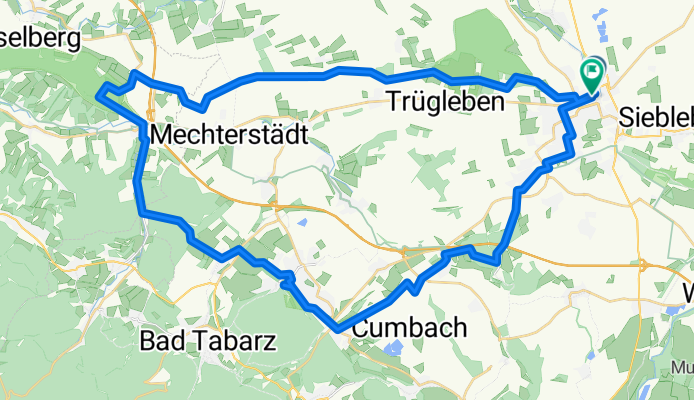
Gotha - Hörselberge - Waltershausen - Gotha | 51 km
A cycling route starting in Gotha, Free State of Thuringia, Germany.
Overview
About this route
Die Route verläuft vorwiegend über Feld- und Waldwege, ein kleines Stück wenig befahrener Landstraße (Sondra) und einige Stücken Radweg sind dabei. Die Steigungen am Krahnberg (Gotha), am Großen Hörselberg (Hastrungsfeld), am Tränksberg (Sondra) sowie am Burgberg (Waltershausen) sind nicht unbeträchtlich.
Markante Punkte auf dem ersten Stück sind der Bürgerturm auf dem Krahnberg (wunderbarer Ausblick ins Land) sowie der Gedenkstein für die letzte öffentliche Hinrichtung im Großherzogtum Gotha (1837) nahe der Straße zwischen Metebach und Aspach.
Auf dem zweiten Halbrund sind die barocke Stadtkirche zur Gotteshilfe sowie Schloss Tenneberg mit dem Puppenmuseum in Waltershausen besonders sehenswert.
Wunderbar einkehren kann man u.a. im Hörselberghaus, auf Schloss Tenneberg sowie in der Rennbahngaststätte auf dem Boxberg.
- -:--
- Duration
- 51.2 km
- Distance
- 582 m
- Ascent
- 572 m
- Descent
- ---
- Avg. speed
- ---
- Avg. speed
Route quality
Waytypes & surfaces along the route
Waytypes
Track
24.1 km
(47 %)
Quiet road
11 km
(21 %)
Surfaces
Paved
24.8 km
(48 %)
Unpaved
17.2 km
(34 %)
Asphalt
15.7 km
(31 %)
Gravel
10.6 km
(21 %)
Route highlights
Points of interest along the route
Point of interest after 3.5 km
Bürgerturm Gotha (Aussichtsturm) mit phänomenalem Panoramablick
Point of interest after 9.1 km
Gedenkstein an die letzte öffentliche Hinrichtung im Großherzogtum Gotha (18. Februar 1837)
Point of interest after 21.4 km
Ausflugsgaststätte "Hörselberghaus"
Point of interest after 27 km
Schutzhütte "Waldhaus Tränksgrund"
Point of interest after 32.7 km
Barocke Stadtkirche zur Gotteshilfe. Markanter Ovalbau mit einer einzigartigen Trost-Orgel.
Point of interest after 33.5 km
Schloss Tenneberg mit Gaststätte und Puppenmuseum
Continue with Bikemap
Use, edit, or download this cycling route
You would like to ride Gotha - Hörselberge - Waltershausen - Gotha | 51 km or customize it for your own trip? Here is what you can do with this Bikemap route:
Free features
- Save this route as favorite or in collections
- Copy & plan your own version of this route
- Sync your route with Garmin or Wahoo
Premium features
Free trial for 3 days, or one-time payment. More about Bikemap Premium.
- Navigate this route on iOS & Android
- Export a GPX / KML file of this route
- Create your custom printout (try it for free)
- Download this route for offline navigation
Discover more Premium features.
Get Bikemap PremiumFrom our community
Other popular routes starting in Gotha
 Gotha- Grenzadler Oberhof und zurück
- Distance
- 73.3 km
- Ascent
- 647 m
- Descent
- 647 m
- Location
- Gotha, Free State of Thuringia, Germany
 Ebertwiese-Waldsee
- Distance
- 60.1 km
- Ascent
- 783 m
- Descent
- 783 m
- Location
- Gotha, Free State of Thuringia, Germany
 Berlach-Krahnberg
- Distance
- 19.1 km
- Ascent
- 221 m
- Descent
- 200 m
- Location
- Gotha, Free State of Thuringia, Germany
 Von Gotha bis Waltershausen
- Distance
- 17.6 km
- Ascent
- 170 m
- Descent
- 118 m
- Location
- Gotha, Free State of Thuringia, Germany
 Strecke 5 Michael Lindemann
- Distance
- 61.2 km
- Ascent
- 548 m
- Descent
- 565 m
- Location
- Gotha, Free State of Thuringia, Germany
 Gotha - Usedom
- Distance
- 535.7 km
- Ascent
- 2,816 m
- Descent
- 3,093 m
- Location
- Gotha, Free State of Thuringia, Germany
 Gotha -> Waldhaus Erfurt
- Distance
- 27.2 km
- Ascent
- 172 m
- Descent
- 149 m
- Location
- Gotha, Free State of Thuringia, Germany
 Gotha, Schlossplatz nach Dingelstädt
- Distance
- 86.2 km
- Ascent
- 6,083 m
- Descent
- 6,109 m
- Location
- Gotha, Free State of Thuringia, Germany
Open it in the app