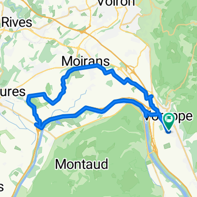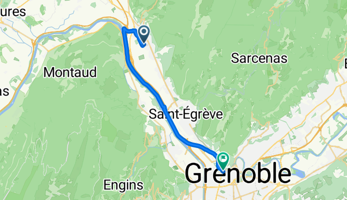

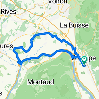
De Avenue André Malraux à Impasse Xavier Bichat
- 30.7 km
- 86 m
- 143 m
- Voreppe, Auvergne-Rhône-Alpes, France
A cycling route starting in Voreppe, Auvergne-Rhône-Alpes, France.
Overview
created this 3 months ago

Route quality
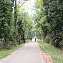
Path
17.1 km
(93 %)
Quiet road
0.6 km
(3 %)
Paved
18.2 km
(99 %)
Asphalt
18.2 km
(99 %)
Undefined
0.2 km
(1 %)
Continue with Bikemap
You would like to ride De Avenue André Malraux à Rue Jay or customize it for your own trip? Here is what you can do with this Bikemap route:
Free trial for 3 days, or one-time payment. More about Bikemap Premium.
Discover more Premium features.
Get Bikemap PremiumFrom our community
Open it in the app