1 D 384, Saint-Dizier naar Louvemont
- 15.3 km
- 40 m
- 36 m
- Saint-Dizier, Grand Est, France
A cycling route starting in Saint-Dizier, Grand Est, France.
Overview
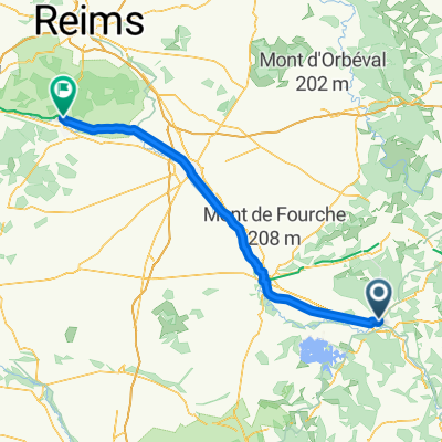
Embark on an exhilarating 51 km cycling adventure through picturesque landscapes, with a gentle ascent of 75 meters and a smooth descent of 74 meters. Reach your highest point at 147 meters for breathtaking views along the way. Enjoy the ride on a well-maintained cycling network that promises a blend of paved paths and scenic trails. Perfect for cycling enthusiasts seeking a moderate challenge with stunning vistas.
AI generated
created this 4 months ago
Route quality
Quiet road
51 km
(100 %)
Continue with Bikemap
You would like to ride Base Aérienne 113, Saint-Dizier à Base Aérienne 113, Saint-Dizier or customize it for your own trip? Here is what you can do with this Bikemap route:
Free trial for 3 days, or one-time payment. More about Bikemap Premium.
Discover more Premium features.
Get Bikemap PremiumFrom our community
Open it in the app