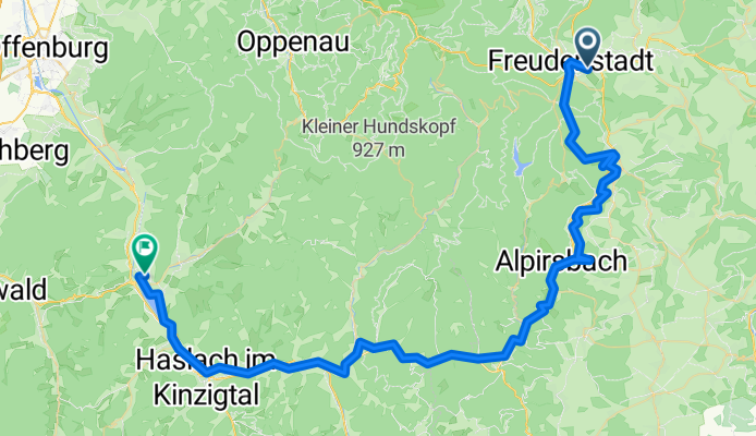
Freudenstadt nach Biberach
- 73.7 km
- 533 m
- 1,056 m
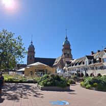
- Freudenstadt, Baden-Wurttemberg, Germany
A cycling route starting in Freudenstadt, Baden-Wurttemberg, Germany.
Overview
created this 4 months ago


Route quality
Track
26.5 km
(36 %)
Path
17.7 km
(24 %)
Paved
46.4 km
(63 %)
Unpaved
19.2 km
(26 %)
Asphalt
44.9 km
(61 %)
Loose gravel
10.3 km
(14 %)
Continue with Bikemap
You would like to ride Freudenstadt nach Biberach or customize it for your own trip? Here is what you can do with this Bikemap route:
Free trial for 3 days, or one-time payment. More about Bikemap Premium.
Discover more Premium features.
Get Bikemap PremiumFrom our community
Open it in the app