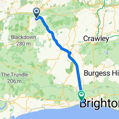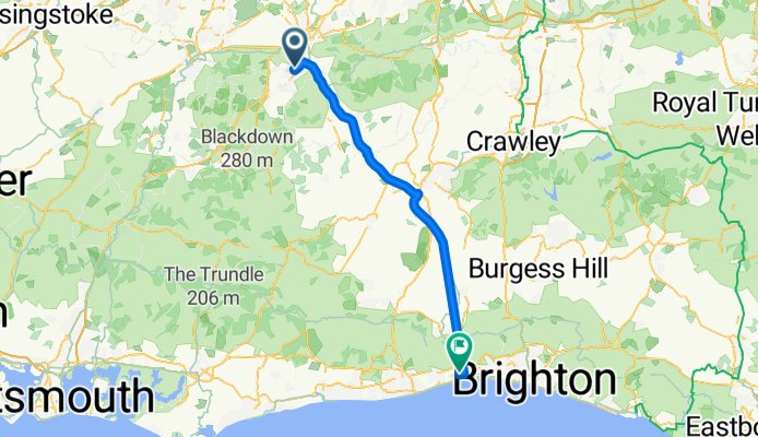


Sat 17 March
- 30.6 km
- 281 m
- 281 m
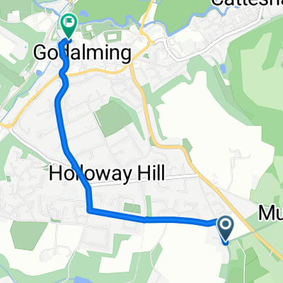
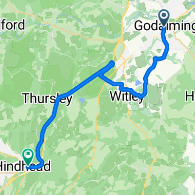
- Godalming, England, United Kingdom
A cycling route starting in Godalming, England, United Kingdom.
Overview
created this 3 months ago
Continue with Bikemap
You would like to ride Rowbury to Cecil Pashley Way or customize it for your own trip? Here is what you can do with this Bikemap route:
Free trial for 3 days, or one-time payment. More about Bikemap Premium.
Discover more Premium features.
Get Bikemap PremiumFrom our community
Open it in the app