
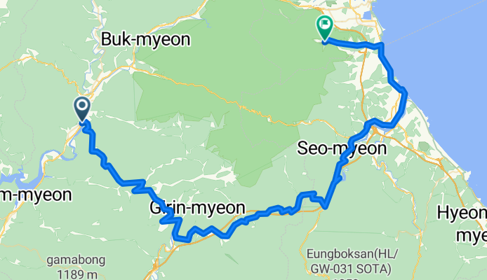
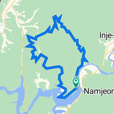
인제읍 218-2 ~ 설악동 246-46
A cycling route starting in Yanggu, Gangwon-do, South Korea.
Overview
About this route
- 8 h 4 min
- Duration
- 97.4 km
- Distance
- 987 m
- Ascent
- 1,099 m
- Descent
- 12.1 km/h
- Avg. speed
- 606 m
- Max. altitude

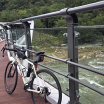
Route photos


Continue with Bikemap
Use, edit, or download this cycling route
You would like to ride 인제읍 218-2 ~ 설악동 246-46 or customize it for your own trip? Here is what you can do with this Bikemap route:
Free features
- Save this route as favorite or in collections
- Copy & plan your own version of this route
- Split it into stages to create a multi-day tour
- Sync your route with Garmin or Wahoo
Premium features
Free trial for 3 days, or one-time payment. More about Bikemap Premium.
- Navigate this route on iOS & Android
- Export a GPX / KML file of this route
- Create your custom printout (try it for free)
- Download this route for offline navigation
Discover more Premium features.
Get Bikemap PremiumFrom our community
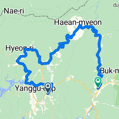
Other popular routes starting in Yanggu
 인제읍 218-2 ~ 설악동 246-46
- Distance
- 97.4 km
- Ascent
- 987 m
- Descent
- 1,099 m
- Location
- Yanggu, Gangwon-do, South Korea
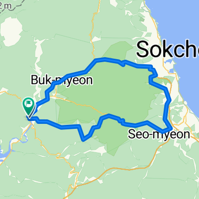
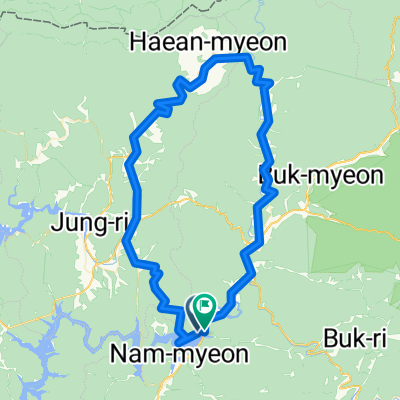 Dolsan pass 103km
- Distance
- 103.9 km
- Ascent
- 1,251 m
- Descent
- 1,263 m
- Location
- Yanggu, Gangwon-do, South Korea
 인제 신남 자작나무숲
- Distance
- 40.7 km
- Ascent
- 2,750 m
- Descent
- 2,749 m
- Location
- Yanggu, Gangwon-do, South Korea
![양구읍 115-4Ph0]으로 라우팅](https://media.bikemap.net/routes/17548803/staticmaps/in_ca51a631-c28f-417e-b454-4b3b24ba6519_400x400_bikemap-2021-3D-static.png) 양구읍 115-4Ph0]으로 라우팅
양구읍 115-4Ph0]으로 라우팅- Distance
- 105.8 km
- Ascent
- 2,909 m
- Descent
- 2,907 m
- Location
- Yanggu, Gangwon-do, South Korea
 원통-돌산령-학령(터널)-성곡령-남면 94km 2000m
- Distance
- 93.9 km
- Ascent
- 2,449 m
- Descent
- 2,430 m
- Location
- Yanggu, Gangwon-do, South Korea
 관대리-두무리임도
- Distance
- 44 km
- Ascent
- 1,092 m
- Descent
- 1,022 m
- Location
- Yanggu, Gangwon-do, South Korea
 Pylie-Misi pass 120km
- Distance
- 120.5 km
- Ascent
- 2,011 m
- Descent
- 1,985 m
- Location
- Yanggu, Gangwon-do, South Korea
 소양호 둘레길(콩밭길 어론교) 작업
- Distance
- 3.7 km
- Ascent
- 408 m
- Descent
- 331 m
- Location
- Yanggu, Gangwon-do, South Korea
Open it in the app