
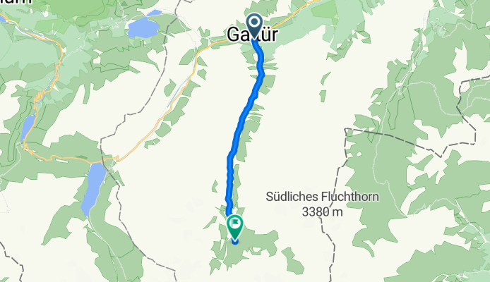
Galtür, Galtür nach Galtür
A cycling route starting in Galtür, Tyrol, Austria.
Overview
About this route
- 1 h 5 min
- Duration
- 10.6 km
- Distance
- 665 m
- Ascent
- 77 m
- Descent
- 9.8 km/h
- Avg. speed
- 2,166 m
- Max. altitude
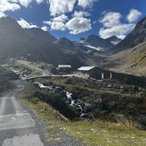
Route photos


Route quality
Waytypes & surfaces along the route
Waytypes
Track
9.9 km
(94 %)
Quiet road
0.6 km
(6 %)
Surfaces
Paved
2.3 km
(22 %)
Unpaved
8.2 km
(78 %)
Gravel
8.2 km
(78 %)
Asphalt
2.3 km
(22 %)
Continue with Bikemap
Use, edit, or download this cycling route
You would like to ride Galtür, Galtür nach Galtür or customize it for your own trip? Here is what you can do with this Bikemap route:
Free features
- Save this route as favorite or in collections
- Copy & plan your own version of this route
- Sync your route with Garmin or Wahoo
Premium features
Free trial for 3 days, or one-time payment. More about Bikemap Premium.
- Navigate this route on iOS & Android
- Export a GPX / KML file of this route
- Create your custom printout (try it for free)
- Download this route for offline navigation
Discover more Premium features.
Get Bikemap PremiumFrom our community
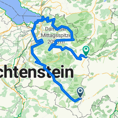
Other popular routes starting in Galtür
 Galtür, Galtür nach Galtür
- Distance
- 10.6 km
- Ascent
- 665 m
- Descent
- 77 m
- Location
- Galtür, Tyrol, Austria
 Silvretta-Tour
- Distance
- 49.8 km
- Ascent
- 1,390 m
- Descent
- 1,389 m
- Location
- Galtür, Tyrol, Austria
 Silveretta -Landeck
- Distance
- 48.2 km
- Ascent
- 119 m
- Descent
- 1,360 m
- Location
- Galtür, Tyrol, Austria
 Galtür
- Distance
- 50.5 km
- Ascent
- 997 m
- Descent
- 995 m
- Location
- Galtür, Tyrol, Austria
 13-ROUTE_2022-Heilbronner_Huette-St-Anton
- Distance
- 20.9 km
- Ascent
- 414 m
- Descent
- 1,383 m
- Location
- Galtür, Tyrol, Austria
 Transalp Etappe 3: Neue Heilbronner Hütte - Sur En CLONED FROM ROUTE 259360
- Distance
- 59.3 km
- Ascent
- 1,848 m
- Descent
- 2,464 m
- Location
- Galtür, Tyrol, Austria
 Gravel through Austria - Stage 1
- Distance
- 260.5 km
- Ascent
- 5,892 m
- Descent
- 6,219 m
- Location
- Galtür, Tyrol, Austria
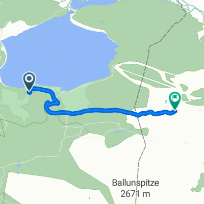 Zeinisjoch Variante
- Distance
- 2.7 km
- Ascent
- 232 m
- Descent
- 82 m
- Location
- Galtür, Tyrol, Austria
Open it in the app