
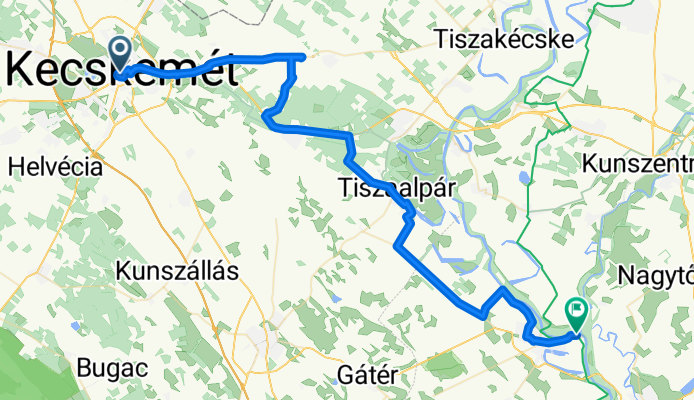
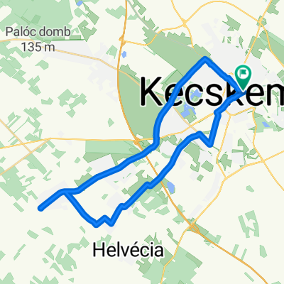
2. ungarn tag 2, etappe 2
A cycling route starting in Kecskemét, Bács-Kiskun county, Hungary.
Overview
About this route
- 7 h 6 min
- Duration
- 67.1 km
- Distance
- 163 m
- Ascent
- 206 m
- Descent
- 9.5 km/h
- Avg. speed
- 150 m
- Max. altitude
Route quality
Waytypes & surfaces along the route
Waytypes
Cycleway
29.5 km
(44 %)
Quiet road
16.8 km
(25 %)
Surfaces
Paved
49 km
(73 %)
Unpaved
1.3 km
(2 %)
Asphalt
49 km
(73 %)
Unpaved (undefined)
0.7 km
(1 %)
Continue with Bikemap
Use, edit, or download this cycling route
You would like to ride 2. ungarn tag 2, etappe 2 or customize it for your own trip? Here is what you can do with this Bikemap route:
Free features
- Save this route as favorite or in collections
- Copy & plan your own version of this route
- Sync your route with Garmin or Wahoo
Premium features
Free trial for 3 days, or one-time payment. More about Bikemap Premium.
- Navigate this route on iOS & Android
- Export a GPX / KML file of this route
- Create your custom printout (try it for free)
- Download this route for offline navigation
Discover more Premium features.
Get Bikemap PremiumFrom our community
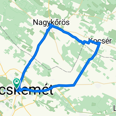
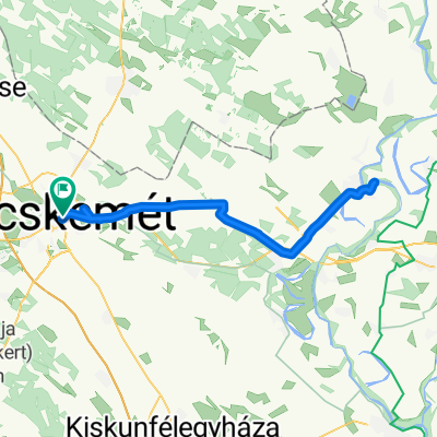
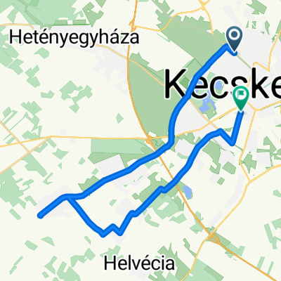
Other popular routes starting in Kecskemét
 Mihó utca, Kecskemét - Munkácsy Mihály utca, Kecskemét
- Distance
- 55 km
- Ascent
- 58 m
- Descent
- 57 m
- Location
- Kecskemét, Bács-Kiskun county, Hungary
 Bercsényi utca - Bercsényi utca
- Distance
- 82.4 km
- Ascent
- 120 m
- Descent
- 167 m
- Location
- Kecskemét, Bács-Kiskun county, Hungary
 Március 15. utca - Ipoly utca
- Distance
- 26.5 km
- Ascent
- 30 m
- Descent
- 109 m
- Location
- Kecskemét, Bács-Kiskun county, Hungary
 augusztus 23
- Distance
- 26.4 km
- Ascent
- 6 m
- Descent
- 58 m
- Location
- Kecskemét, Bács-Kiskun county, Hungary
 Bercsényi utca - Bercsényi utca
- Distance
- 30.8 km
- Ascent
- 60 m
- Descent
- 104 m
- Location
- Kecskemét, Bács-Kiskun county, Hungary
 Kosztolányi Dezső utca 6, Kecskemét - Kosztolányi Dezső utca 6, Kecskemét
- Distance
- 19.2 km
- Ascent
- 86 m
- Descent
- 133 m
- Location
- Kecskemét, Bács-Kiskun county, Hungary
 Kiskőrösi út - Kiskőrösi út
- Distance
- 14.4 km
- Ascent
- 24 m
- Descent
- 71 m
- Location
- Kecskemét, Bács-Kiskun county, Hungary
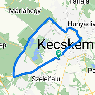
 Máriahegy - Dózsa György út
- Distance
- 26.2 km
- Ascent
- 40 m
- Descent
- 91 m
- Location
- Kecskemét, Bács-Kiskun county, Hungary
Open it in the app