
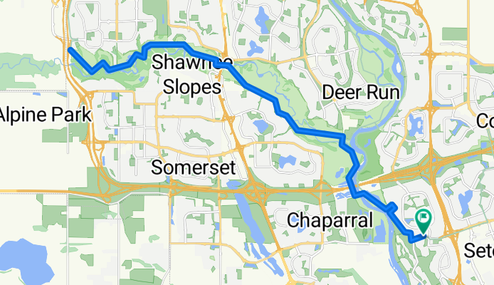
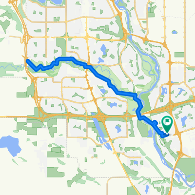
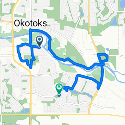
Cranston - Fish Creek Park Return
A cycling route starting in Okotoks, Alberta, Canada.
Overview
About this route
- 2 h 3 min
- Duration
- 36.3 km
- Distance
- 220 m
- Ascent
- 222 m
- Descent
- 17.7 km/h
- Avg. speed
- 1,088 m
- Max. altitude
Route quality
Waytypes & surfaces along the route
Waytypes
Cycleway
34.9 km
(96 %)
Access road
1.1 km
(3 %)
Quiet road
0.4 km
(1 %)
Surfaces
Paved
35.6 km
(98 %)
Asphalt
34.2 km
(94 %)
Paved (undefined)
1.1 km
(3 %)
Continue with Bikemap
Use, edit, or download this cycling route
You would like to ride Cranston - Fish Creek Park Return or customize it for your own trip? Here is what you can do with this Bikemap route:
Free features
- Save this route as favorite or in collections
- Copy & plan your own version of this route
- Sync your route with Garmin or Wahoo
Premium features
Free trial for 3 days, or one-time payment. More about Bikemap Premium.
- Navigate this route on iOS & Android
- Export a GPX / KML file of this route
- Create your custom printout (try it for free)
- Download this route for offline navigation
Discover more Premium features.
Get Bikemap PremiumFrom our community
Other popular routes starting in Okotoks
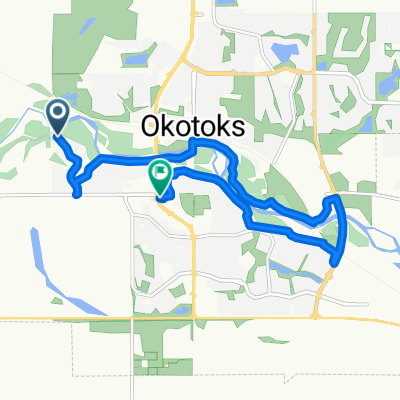 Sheep River Cove, Okotoks to Big Rock Ln, Okotoks
- Distance
- 10.3 km
- Ascent
- 59 m
- Descent
- 73 m
- Location
- Okotoks, Alberta, Canada
 Follow the Bow
- Distance
- 94.4 km
- Ascent
- 310 m
- Descent
- 308 m
- Location
- Okotoks, Alberta, Canada
 Cimarron Park Cir, Okotoks to Cimarron Park Cir, Okotoks
- Distance
- 10.9 km
- Ascent
- 44 m
- Descent
- 45 m
- Location
- Okotoks, Alberta, Canada
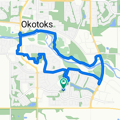
 Okotoks Bike Path Ride
- Distance
- 19.7 km
- Ascent
- 112 m
- Descent
- 110 m
- Location
- Okotoks, Alberta, Canada
 Cranston - Fish Creek Park Return
- Distance
- 36.3 km
- Ascent
- 220 m
- Descent
- 222 m
- Location
- Okotoks, Alberta, Canada
 Woodbend Way, Okotoks to Cimarron Park Cir, Okotoks
- Distance
- 9.5 km
- Ascent
- 48 m
- Descent
- 35 m
- Location
- Okotoks, Alberta, Canada
 Highway 2A N, Foothills No. 31 to 255001 Glenbow Rd, Rocky View County
- Distance
- 78.9 km
- Ascent
- 567 m
- Descent
- 437 m
- Location
- Okotoks, Alberta, Canada
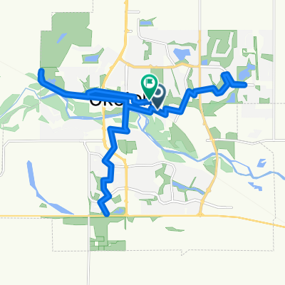
 45 Minute SE Loop
- Distance
- 13.6 km
- Ascent
- 17 m
- Descent
- 19 m
- Location
- Okotoks, Alberta, Canada
Open it in the app