
물금읍 171-4 ~ 물금읍
A cycling route starting in Yangsan, Gyeongsangnam-do, South Korea.
Overview
About this route
- 1 h 44 min
- Duration
- 17.7 km
- Distance
- 101 m
- Ascent
- 128 m
- Descent
- 10.2 km/h
- Avg. speed
- 32 m
- Max. altitude

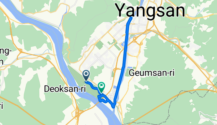
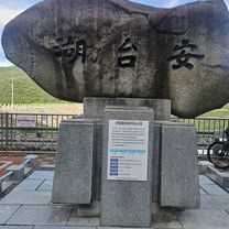
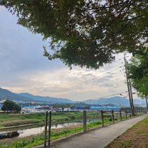
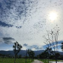
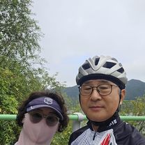
Route photos


Continue with Bikemap
Use, edit, or download this cycling route
You would like to ride 물금읍 171-4 ~ 물금읍 or customize it for your own trip? Here is what you can do with this Bikemap route:
Free features
- Save this route as favorite or in collections
- Copy & plan your own version of this route
- Sync your route with Garmin or Wahoo
Premium features
Free trial for 3 days, or one-time payment. More about Bikemap Premium.
- Navigate this route on iOS & Android
- Export a GPX / KML file of this route
- Create your custom printout (try it for free)
- Download this route for offline navigation
Discover more Premium features.
Get Bikemap PremiumFrom our community
Other popular routes starting in Yangsan
 Busan - Seoul - Gwangju
- Distance
- 1,118.5 km
- Ascent
- 8,747 m
- Descent
- 8,807 m
- Location
- Yangsan, Gyeongsangnam-do, South Korea
 황산공원 안태호 만어사 밀양 원동 황산공원
- Distance
- 67 km
- Ascent
- 216 m
- Descent
- 247 m
- Location
- Yangsan, Gyeongsangnam-do, South Korea
 느린 주행
느린 주행- Distance
- 14.4 km
- Ascent
- 115 m
- Descent
- 118 m
- Location
- Yangsan, Gyeongsangnam-do, South Korea
 물금역-낙동강하구둑
- Distance
- 29.9 km
- Ascent
- 78 m
- Descent
- 107 m
- Location
- Yangsan, Gyeongsangnam-do, South Korea
 물금읍 171-4 ~ 물금읍
- Distance
- 17.7 km
- Ascent
- 101 m
- Descent
- 128 m
- Location
- Yangsan, Gyeongsangnam-do, South Korea
 yangsan-cape homi
- Distance
- 114.1 km
- Ascent
- 456 m
- Descent
- 457 m
- Location
- Yangsan, Gyeongsangnam-do, South Korea
 남부동 133, 양산시 ~ 5, 양산시
- Distance
- 34.4 km
- Ascent
- 187 m
- Descent
- 195 m
- Location
- Yangsan, Gyeongsangnam-do, South Korea
 2025.9.14. 양산 황산공원 밀양
- Distance
- 53.9 km
- Ascent
- 113 m
- Descent
- 145 m
- Location
- Yangsan, Gyeongsangnam-do, South Korea
Open it in the app