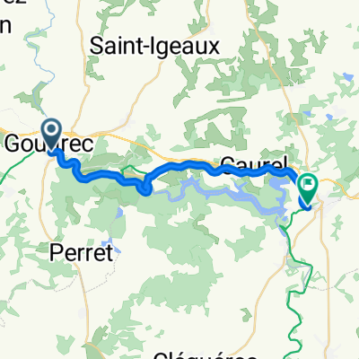


gouarec kergus
- 8.6 km
- 187 m
- 101 m
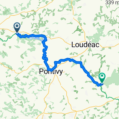
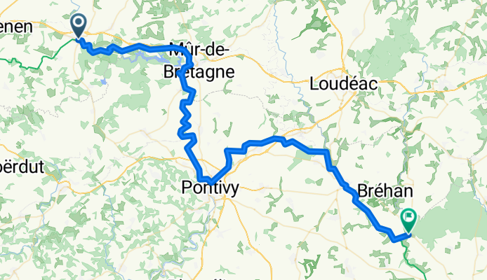
- Gouarec, Brittany Region, France
A cycling route starting in Gouarec, Brittany Region, France.
Overview
created this 2 months ago
Route quality
Path
48.4 km
(63 %)
Cycleway
22.3 km
(29 %)
Paved
36.1 km
(47 %)
Unpaved
34.6 km
(45 %)
Gravel
34.6 km
(45 %)
Asphalt
26.9 km
(35 %)
Continue with Bikemap
You would like to ride Rue de la Gare nach Rue Aimé Jeglot or customize it for your own trip? Here is what you can do with this Bikemap route:
Free trial for 3 days, or one-time payment. More about Bikemap Premium.
Discover more Premium features.
Get Bikemap PremiumFrom our community
Open it in the app