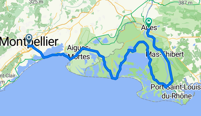
Montpellier - Arles
A cycling route starting in Montpellier, Occitanie, France.
Overview
About this route
- 9 h 26 min
- Duration
- 163.3 km
- Distance
- 123 m
- Ascent
- 137 m
- Descent
- 17.3 km/h
- Avg. speed
- 38 m
- Max. altitude
Route quality
Waytypes & surfaces along the route
Waytypes
Cycleway
57.2 km
(35 %)
Road
37.6 km
(23 %)
Surfaces
Paved
138.8 km
(85 %)
Unpaved
8.2 km
(5 %)
Asphalt
127.4 km
(78 %)
Paved (undefined)
9.8 km
(6 %)
Continue with Bikemap
Use, edit, or download this cycling route
You would like to ride Montpellier - Arles or customize it for your own trip? Here is what you can do with this Bikemap route:
Free features
- Save this route as favorite or in collections
- Copy & plan your own version of this route
- Split it into stages to create a multi-day tour
- Sync your route with Garmin or Wahoo
Premium features
Free trial for 3 days, or one-time payment. More about Bikemap Premium.
- Navigate this route on iOS & Android
- Export a GPX / KML file of this route
- Create your custom printout (try it for free)
- Download this route for offline navigation
Discover more Premium features.
Get Bikemap PremiumFrom our community
Other popular routes starting in Montpellier
ET1 // Montpellier - Aigues-Mortes- Distance
- 68.3 km
- Ascent
- 87 m
- Descent
- 114 m
- Location
- Montpellier, Occitanie, France
Vivons Vélo Rassemblement du 1er juillet 2017- Distance
- 27.1 km
- Ascent
- 39 m
- Descent
- 40 m
- Location
- Montpellier, Occitanie, France
The Sources of the Lez– lez cycling area loop from Hôpitaux-Facultés- Distance
- 52.8 km
- Ascent
- 262 m
- Descent
- 259 m
- Location
- Montpellier, Occitanie, France
Montpellier to St-Gilles- Distance
- 63.7 km
- Ascent
- 89 m
- Descent
- 124 m
- Location
- Montpellier, Occitanie, France
MUC_Balade cyclo vers la Via Domicia "Cournonterral- Distance
- 42.7 km
- Ascent
- 160 m
- Descent
- 157 m
- Location
- Montpellier, Occitanie, France
Itinéraire plage Frontignan- Distance
- 80.6 km
- Ascent
- 80 m
- Descent
- 82 m
- Location
- Montpellier, Occitanie, France
OPT9_montpelliers_cerbere- Distance
- 233 km
- Ascent
- 217 m
- Descent
- 260 m
- Location
- Montpellier, Occitanie, France
Rue Germain Bis nach Rue du Port- Distance
- 24.8 km
- Ascent
- 43 m
- Descent
- 93 m
- Location
- Montpellier, Occitanie, France
Open it in the app

