

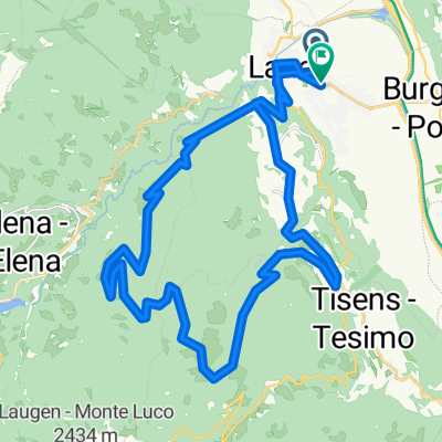
lana bozen lana
A cycling route starting in Lana, Trentino-Alto Adige, Italy.
Overview
About this route
- 1 h 29 min
- Duration
- 34.4 km
- Distance
- 221 m
- Ascent
- 286 m
- Descent
- 23.1 km/h
- Avg. speed
- 333 m
- Max. altitude

Route quality
Waytypes & surfaces along the route
Waytypes
Cycleway
11.7 km
(34 %)
Quiet road
10 km
(29 %)
Surfaces
Paved
23.7 km
(69 %)
Unpaved
0.7 km
(2 %)
Asphalt
22.4 km
(65 %)
Paved (undefined)
1.4 km
(4 %)
Continue with Bikemap
Use, edit, or download this cycling route
You would like to ride lana bozen lana or customize it for your own trip? Here is what you can do with this Bikemap route:
Free features
- Save this route as favorite or in collections
- Copy & plan your own version of this route
- Sync your route with Garmin or Wahoo
Premium features
Free trial for 3 days, or one-time payment. More about Bikemap Premium.
- Navigate this route on iOS & Android
- Export a GPX / KML file of this route
- Create your custom printout (try it for free)
- Download this route for offline navigation
Discover more Premium features.
Get Bikemap PremiumFrom our community
Other popular routes starting in Lana
 Sankt Agathaweg nach Via Monte Tramontana
- Distance
- 20 km
- Ascent
- 2,222 m
- Descent
- 603 m
- Location
- Lana, Trentino-Alto Adige, Italy
 Sankt Agathaweg nach Boznerstraße 2C
- Distance
- 35.8 km
- Ascent
- 1,643 m
- Descent
- 1,685 m
- Location
- Lana, Trentino-Alto Adige, Italy
 Route in Lana
- Distance
- 47.7 km
- Ascent
- 1,353 m
- Descent
- 948 m
- Location
- Lana, Trentino-Alto Adige, Italy
 Sankt Agathaweg nach Nörderberg
- Distance
- 20.3 km
- Ascent
- 1,672 m
- Descent
- 564 m
- Location
- Lana, Trentino-Alto Adige, Italy
 Hüsi lana nach kalterersee
- Distance
- 36.9 km
- Ascent
- 452 m
- Descent
- 571 m
- Location
- Lana, Trentino-Alto Adige, Italy
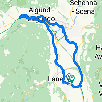 Lana-Algund
- Distance
- 29.5 km
- Ascent
- 384 m
- Descent
- 386 m
- Location
- Lana, Trentino-Alto Adige, Italy
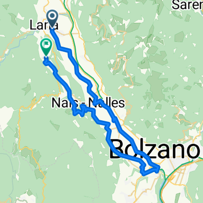
 Lana - Bozen 56 km
- Distance
- 56 km
- Ascent
- 1,291 m
- Descent
- 1,291 m
- Location
- Lana, Trentino-Alto Adige, Italy
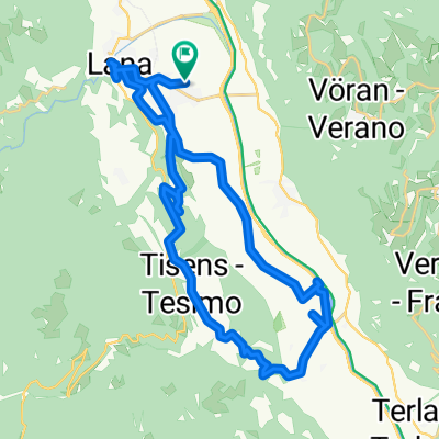 golfplatz bergstrecke lana
- Distance
- 31.4 km
- Ascent
- 627 m
- Descent
- 687 m
- Location
- Lana, Trentino-Alto Adige, Italy
Open it in the app