#bike
A cycling route starting in Cuiabá, Mato Grosso, Brazil.
Overview
About this route
- 55 min
- Duration
- 9.2 km
- Distance
- 116 m
- Ascent
- 118 m
- Descent
- 10 km/h
- Avg. speed
- 212 m
- Max. altitude
Continue with Bikemap
Use, edit, or download this cycling route
You would like to ride #bike or customize it for your own trip? Here is what you can do with this Bikemap route:
Free features
- Save this route as favorite or in collections
- Copy & plan your own version of this route
- Sync your route with Garmin or Wahoo
Premium features
Free trial for 3 days, or one-time payment. More about Bikemap Premium.
- Navigate this route on iOS & Android
- Export a GPX / KML file of this route
- Create your custom printout (try it for free)
- Download this route for offline navigation
Discover more Premium features.
Get Bikemap PremiumFrom our community
Other popular routes starting in Cuiabá
Top de fita 2010- Distance
- 58.2 km
- Ascent
- 901 m
- Descent
- 245 m
- Location
- Cuiabá, Mato Grosso, Brazil
#bike- Distance
- 9.2 km
- Ascent
- 116 m
- Descent
- 118 m
- Location
- Cuiabá, Mato Grosso, Brazil
Passeio rápido em avenida das Torres- Distance
- 23.8 km
- Ascent
- 186 m
- Descent
- 187 m
- Location
- Cuiabá, Mato Grosso, Brazil
Via de alta velocidade- Distance
- 29.1 km
- Ascent
- 242 m
- Descent
- 260 m
- Location
- Cuiabá, Mato Grosso, Brazil
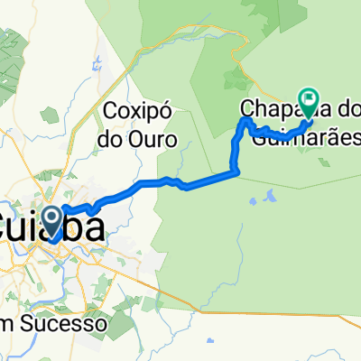
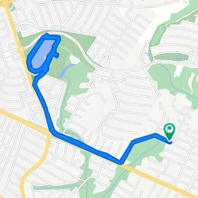
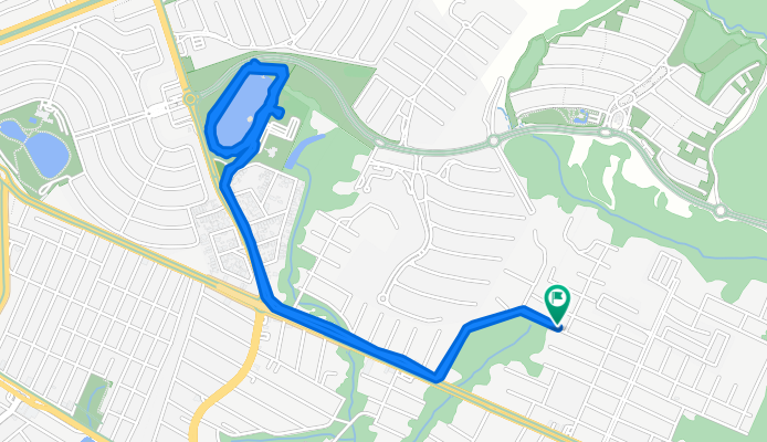
De Rua Trinta e Sete 34 a Rua Trinta e Sete 35- Distance
- 95.4 km
- Ascent
- 557 m
- Descent
- 565 m
- Location
- Cuiabá, Mato Grosso, Brazil
trabalhando no iFood entrega- Distance
- 35.4 km
- Ascent
- 549 m
- Descent
- 540 m
- Location
- Cuiabá, Mato Grosso, Brazil
pedal de leves 🥵🚴🚴- Distance
- 38.8 km
- Ascent
- 707 m
- Descent
- 738 m
- Location
- Cuiabá, Mato Grosso, Brazil
1°Pedal Rezado Nossa Senhora das Dores,catraca 251- Distance
- 34.2 km
- Ascent
- 410 m
- Descent
- 411 m
- Location
- Cuiabá, Mato Grosso, Brazil
Open it in the app

