
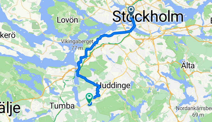
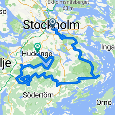
Stockholm - Tullinge
A cycling route starting in Stockholm, Stockholm County, Sweden.
Overview
About this route
- 1 h 18 min
- Duration
- 25.5 km
- Distance
- 116 m
- Ascent
- 73 m
- Descent
- 19.7 km/h
- Avg. speed
- 71 m
- Max. altitude
Continue with Bikemap
Use, edit, or download this cycling route
You would like to ride Stockholm - Tullinge or customize it for your own trip? Here is what you can do with this Bikemap route:
Free features
- Save this route as favorite or in collections
- Copy & plan your own version of this route
- Sync your route with Garmin or Wahoo
Premium features
Free trial for 3 days, or one-time payment. More about Bikemap Premium.
- Navigate this route on iOS & Android
- Export a GPX / KML file of this route
- Create your custom printout (try it for free)
- Download this route for offline navigation
Discover more Premium features.
Get Bikemap PremiumFrom our community
Other popular routes starting in Stockholm
 Västmannagatan 46 to Aspviksvägen 28
- Distance
- 28.4 km
- Ascent
- 432 m
- Descent
- 466 m
- Location
- Stockholm, Stockholm County, Sweden
 Sztokhol
- Distance
- 18.7 km
- Ascent
- 172 m
- Descent
- 193 m
- Location
- Stockholm, Stockholm County, Sweden
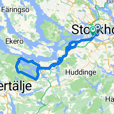
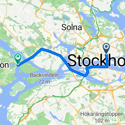 From Stockholm City to Drottningholm
- Distance
- 14.9 km
- Ascent
- 38 m
- Descent
- 48 m
- Location
- Stockholm, Stockholm County, Sweden
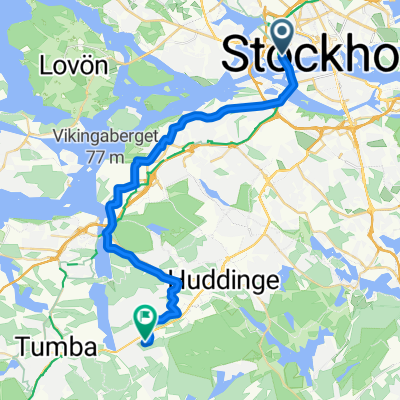 Stockholm - Tullinge
- Distance
- 25.5 km
- Ascent
- 116 m
- Descent
- 73 m
- Location
- Stockholm, Stockholm County, Sweden
 Wilder Side of Stockholm
- Distance
- 157.4 km
- Ascent
- 1,778 m
- Descent
- 1,780 m
- Location
- Stockholm, Stockholm County, Sweden
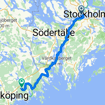 Stockholm - Nyköping
- Distance
- 111 km
- Ascent
- 1,160 m
- Descent
- 1,127 m
- Location
- Stockholm, Stockholm County, Sweden
 around the around
- Distance
- 27.4 km
- Ascent
- 267 m
- Descent
- 268 m
- Location
- Stockholm, Stockholm County, Sweden
 Stockholm SW
- Distance
- 59.9 km
- Ascent
- 476 m
- Descent
- 445 m
- Location
- Stockholm, Stockholm County, Sweden
Open it in the app