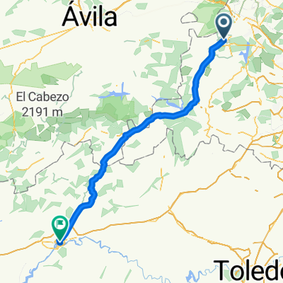
Reales Sitios 2018 - propuesta
- 65.5 km
- 1,473 m
- 1,266 m
- El Escorial, Madrid, Spain
A cycling route starting in El Escorial, Madrid, Spain.
Overview
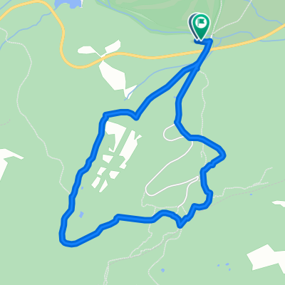
Embark on a scenic 0.7 km cycling adventure through rolling landscapes and charming countryside views. The route offers a gentle 3-meter ascent and a thrilling 49-meter descent, culminating at a maximum elevation of 1118 meters. Enjoy the smooth paved surface and immerse yourself in the tranquil surroundings.
AI generated
created this 2 months ago
Route quality
Track
0.7 km
(100 %)
Unpaved
0.7 km
(100 %)
Gravel
0.7 km
(100 %)
Continue with Bikemap
You would like to ride San Lorenzo de El Escorial a Carretera de Robledo, San Lorenzo de El Escorialhori or customize it for your own trip? Here is what you can do with this Bikemap route:
Free trial for 3 days, or one-time payment. More about Bikemap Premium.
Discover more Premium features.
Get Bikemap PremiumFrom our community
Open it in the app