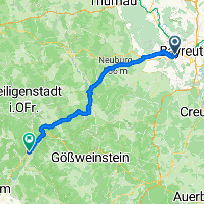
Route in Bayreuth
A cycling route starting in Bayreuth, Bavaria, Germany.
Overview
About this route
- 32 min
- Duration
- 8.6 km
- Distance
- 157 m
- Ascent
- 40 m
- Descent
- 16.1 km/h
- Avg. speed
- 461 m
- Max. altitude
Route quality
Waytypes & surfaces along the route
Waytypes
- Path - 4 km - (46 %) 
- Quiet road - 3.2 km - (37 %) 
Surfaces
Paved
6.9 km
(80 %)
- Asphalt - 6.9 km - (80 %) 
- Undefined - 1.7 km - (20 %) 
Continue with Bikemap
Use, edit, or download this cycling route
You would like to ride Route in Bayreuth or customize it for your own trip? Here is what you can do with this Bikemap route:
Free features
- Save this route as favorite or in collections
- Copy & plan your own version of this route
- Sync your route with Garmin or Wahoo
Premium features
Free trial for 3 days, or one-time payment. More about Bikemap Premium.
- Navigate this route on iOS & Android
- Export a GPX / KML file of this route
- Create your custom printout (try it for free)
- Download this route for offline navigation
Discover more Premium features.
Get Bikemap PremiumFrom our community
Other popular routes starting in Bayreuth
 RoterMainQuelle (kurz) RoterMainQuelle (kurz)- Distance
- 30.9 km
- Ascent
- 345 m
- Descent
- 346 m
- Location
- Bayreuth, Bavaria, Germany
 
 Rund um Bayreuth Rund um Bayreuth- Distance
- 37.7 km
- Ascent
- 240 m
- Descent
- 249 m
- Location
- Bayreuth, Bavaria, Germany
 
 Main-Radweg – aus Trekkingbike 5/2012 - editiert 2 Main-Radweg – aus Trekkingbike 5/2012 - editiert 2- Distance
- 519.1 km
- Ascent
- 167 m
- Descent
- 411 m
- Location
- Bayreuth, Bavaria, Germany
 
 Route in Bayreuth Route in Bayreuth- Distance
- 8.6 km
- Ascent
- 157 m
- Descent
- 40 m
- Location
- Bayreuth, Bavaria, Germany
 
 Eine Anspruchsvolle aber schöne Tour Eine Anspruchsvolle aber schöne Tour- Distance
- 30.7 km
- Ascent
- 63 m
- Descent
- 176 m
- Location
- Bayreuth, Bavaria, Germany
 
 Von Bayreuth bis Eger Von Bayreuth bis Eger- Distance
- 93.2 km
- Ascent
- 1,167 m
- Descent
- 1,069 m
- Location
- Bayreuth, Bavaria, Germany
 
 Oschenberg inkl. Arschkerbe Oschenberg inkl. Arschkerbe- Distance
- 24.8 km
- Ascent
- 306 m
- Descent
- 307 m
- Location
- Bayreuth, Bavaria, Germany
 
 11.07.23 Bayreuth-Lichtenfels (6. Etappe) 11.07.23 Bayreuth-Lichtenfels (6. Etappe)- Distance
- 76.8 km
- Ascent
- 248 m
- Descent
- 334 m
- Location
- Bayreuth, Bavaria, Germany
 
Open it in the app


