

Shopping, what else
A cycling route starting in Rechtenstein, Baden-Wurttemberg, Germany.
Overview
About this route
- 1 h 59 min
- Duration
- 19.6 km
- Distance
- 138 m
- Ascent
- 184 m
- Descent
- 9.9 km/h
- Avg. speed
- 565 m
- Max. altitude

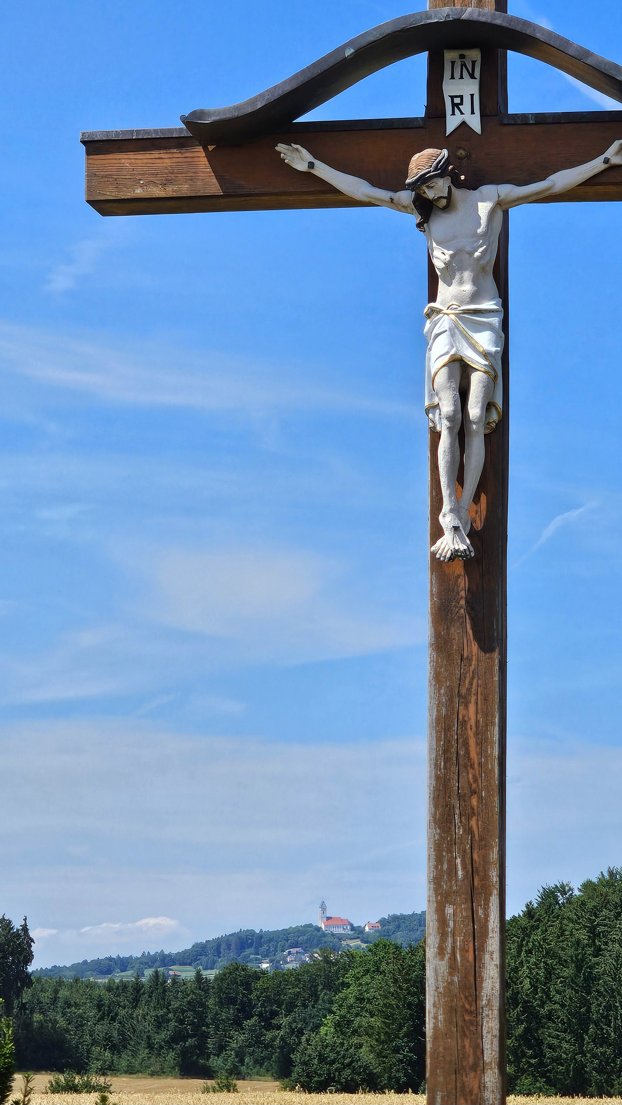
Route photos


Route quality
Waytypes & surfaces along the route
Waytypes
Track
8.2 km
(42 %)
Quiet road
5.7 km
(29 %)
Surfaces
Paved
7.5 km
(38 %)
Unpaved
4.9 km
(25 %)
Asphalt
7.5 km
(38 %)
Gravel
2.9 km
(15 %)
Continue with Bikemap
Use, edit, or download this cycling route
You would like to ride Shopping, what else or customize it for your own trip? Here is what you can do with this Bikemap route:
Free features
- Save this route as favorite or in collections
- Copy & plan your own version of this route
- Sync your route with Garmin or Wahoo
Premium features
Free trial for 3 days, or one-time payment. More about Bikemap Premium.
- Navigate this route on iOS & Android
- Export a GPX / KML file of this route
- Create your custom printout (try it for free)
- Download this route for offline navigation
Discover more Premium features.
Get Bikemap PremiumFrom our community
Other popular routes starting in Rechtenstein
 Kanzach Garagenflohmarkt
- Distance
- 56.2 km
- Ascent
- 508 m
- Descent
- 561 m
- Location
- Rechtenstein, Baden-Wurttemberg, Germany
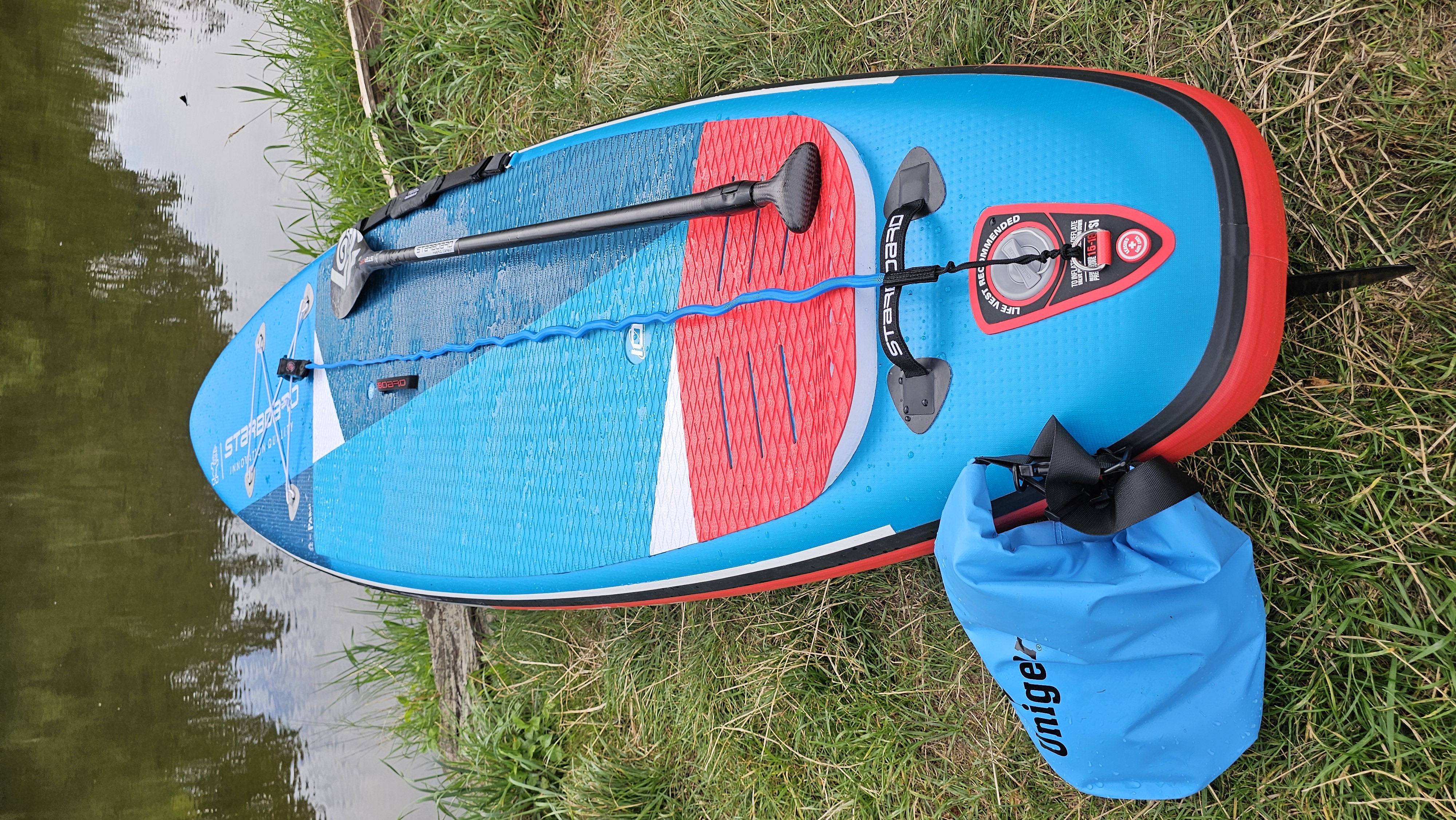 SUP-TOUR mit Maiki auf der Donau
- Distance
- 2.1 km
- Ascent
- 7 m
- Descent
- 91 m
- Location
- Rechtenstein, Baden-Wurttemberg, Germany
 kl. Täler ums Lautertal
- Distance
- 45.6 km
- Ascent
- 365 m
- Descent
- 365 m
- Location
- Rechtenstein, Baden-Wurttemberg, Germany
 Gartenauflösung mit Oleander
- Distance
- 20.7 km
- Ascent
- 167 m
- Descent
- 202 m
- Location
- Rechtenstein, Baden-Wurttemberg, Germany
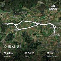
 Einkaufen Paketshop
- Distance
- 20.3 km
- Ascent
- 118 m
- Descent
- 174 m
- Location
- Rechtenstein, Baden-Wurttemberg, Germany
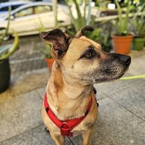 Mit E-Bike und Anhänger und Daisy zur Tierärztin. Chippen und impfen.
- Distance
- 17 km
- Ascent
- 274 m
- Descent
- 328 m
- Location
- Rechtenstein, Baden-Wurttemberg, Germany
 Lautertal-Runde
- Distance
- 63.6 km
- Ascent
- 382 m
- Descent
- 382 m
- Location
- Rechtenstein, Baden-Wurttemberg, Germany
 Vom Lautertal an die Donau
- Distance
- 27.5 km
- Ascent
- 767 m
- Descent
- 650 m
- Location
- Rechtenstein, Baden-Wurttemberg, Germany
Open it in the app