
2025-9-27 라이딩
A cycling route starting in Gwangmyeong, Gyeonggi-do, South Korea.
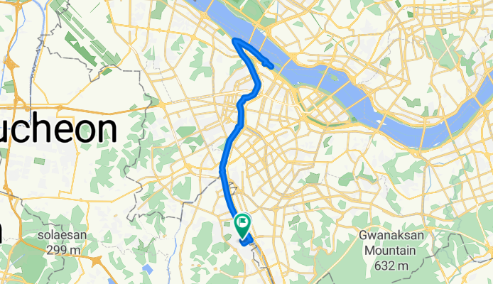
Overview
About this route
- 2 h 44 min
- Duration
- 30 km
- Distance
- 159 m
- Ascent
- 187 m
- Descent
- 11 km/h
- Avg. speed
- 50 m
- Max. altitude

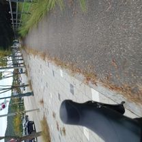
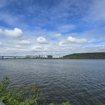
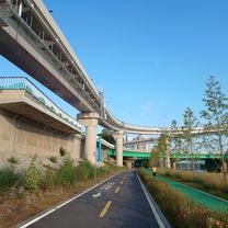
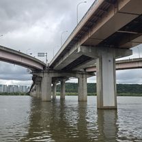
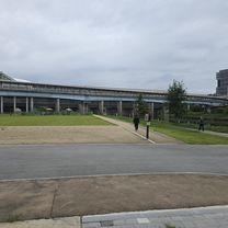
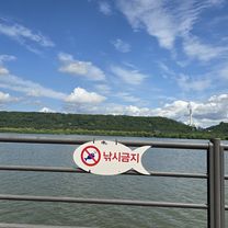
Route photos


Continue with Bikemap
Use, edit, or download this cycling route
You would like to ride 2025-9-27 라이딩 or customize it for your own trip? Here is what you can do with this Bikemap route:
Free features
- Save this route as favorite or in collections
- Copy & plan your own version of this route
- Sync your route with Garmin or Wahoo
Premium features
Free trial for 3 days, or one-time payment. More about Bikemap Premium.
- Navigate this route on iOS & Android
- Export a GPX / KML file of this route
- Create your custom printout (try it for free)
- Download this route for offline navigation
Discover more Premium features.
Get Bikemap PremiumFrom our community
Other popular routes starting in Gwangmyeong
 2025-10-9 라이딩(수원화성/돌판짜장 짜마)
- Distance
- 67.1 km
- Ascent
- 925 m
- Descent
- 935 m
- Location
- Gwangmyeong, Gyeonggi-do, South Korea
 안정적인 라이딩
- Distance
- 30.5 km
- Ascent
- 414 m
- Descent
- 450 m
- Location
- Gwangmyeong, Gyeonggi-do, South Korea
![소하동Ph0]으로 라우팅](https://media.bikemap.net/routes/17625573/gallery/thumbs/2a3c9ec6-ac28-4449-bb7b-e0a78a0b8bb1.jpg.208x208_q80_crop.jpg) 소하동Ph0]으로 라우팅
소하동Ph0]으로 라우팅- Distance
- 27.9 km
- Ascent
- 67 m
- Descent
- 84 m
- Location
- Gwangmyeong, Gyeonggi-do, South Korea
 2025-9-27 라이딩
- Distance
- 30 km
- Ascent
- 159 m
- Descent
- 187 m
- Location
- Gwangmyeong, Gyeonggi-do, South Korea
 편안한 경로
- Distance
- 31 km
- Ascent
- 400 m
- Descent
- 406 m
- Location
- Gwangmyeong, Gyeonggi-do, South Korea
 부천시 ~ 옥길브리즈힐후문
- Distance
- 15.8 km
- Ascent
- 104 m
- Descent
- 128 m
- Location
- Gwangmyeong, Gyeonggi-do, South Korea
 편안한 경로
- Distance
- 29.9 km
- Ascent
- 399 m
- Descent
- 403 m
- Location
- Gwangmyeong, Gyeonggi-do, South Korea
 편안한 경로
- Distance
- 32.1 km
- Ascent
- 371 m
- Descent
- 405 m
- Location
- Gwangmyeong, Gyeonggi-do, South Korea
Open it in the app