
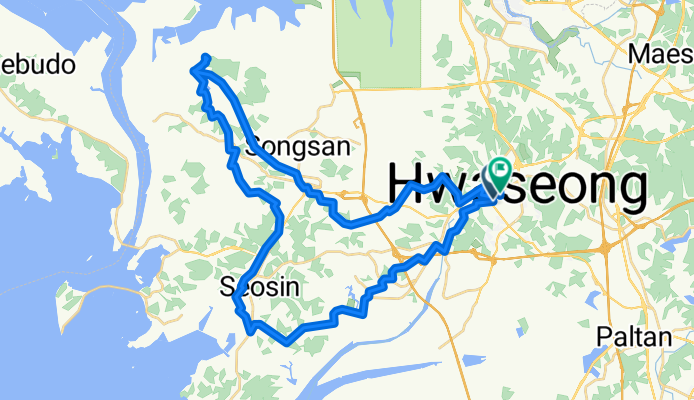
남양리, 화성시에서 남양리, 화성시까지
A cycling route starting in Hwaseong-si, Gyeonggi-do, South Korea.
Overview
About this route
- 3 h 16 min
- Duration
- 52.5 km
- Distance
- 704 m
- Ascent
- 703 m
- Descent
- 16 km/h
- Avg. speed
- 74 m
- Max. altitude
Route quality
Waytypes & surfaces along the route
Waytypes
Quiet road
23.6 km
(45 %)
Road
14.2 km
(27 %)
Surfaces
Paved
3.7 km
(7 %)
Concrete
3.7 km
(7 %)
Undefined
48.9 km
(93 %)
Continue with Bikemap
Use, edit, or download this cycling route
You would like to ride 남양리, 화성시에서 남양리, 화성시까지 or customize it for your own trip? Here is what you can do with this Bikemap route:
Free features
- Save this route as favorite or in collections
- Copy & plan your own version of this route
- Sync your route with Garmin or Wahoo
Premium features
Free trial for 3 days, or one-time payment. More about Bikemap Premium.
- Navigate this route on iOS & Android
- Export a GPX / KML file of this route
- Create your custom printout (try it for free)
- Download this route for offline navigation
Discover more Premium features.
Get Bikemap PremiumFrom our community
Other popular routes starting in Hwaseong-si
 우정읍 556-11 ~ 우정읍 67-13
- Distance
- 10.9 km
- Ascent
- 79 m
- Descent
- 76 m
- Location
- Hwaseong-si, Gyeonggi-do, South Korea
 Paltan-myeon 473-3, Hwaseong-si to Paltan-myeon 산55-13, Hwaseong-si
- Distance
- 59.2 km
- Ascent
- 88 m
- Descent
- 94 m
- Location
- Hwaseong-si, Gyeonggi-do, South Korea
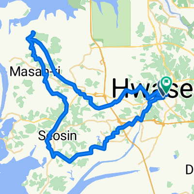
 Bugyang-dong 389-1, Hwaseong-si to Bugyang-dong 389-1, Hwaseong-si
- Distance
- 79.1 km
- Ascent
- 819 m
- Descent
- 822 m
- Location
- Hwaseong-si, Gyeonggi-do, South Korea
 남양리, 화성시에서 남양리, 화성시까지
- Distance
- 52.5 km
- Ascent
- 704 m
- Descent
- 703 m
- Location
- Hwaseong-si, Gyeonggi-do, South Korea
 back to base thru Davis Gate
- Distance
- 14.5 km
- Ascent
- 400 m
- Descent
- 398 m
- Location
- Hwaseong-si, Gyeonggi-do, South Korea
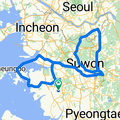 남양읍 15-6 ~ 남양읍 266-21
- Distance
- 236.8 km
- Ascent
- 1,284 m
- Descent
- 1,303 m
- Location
- Hwaseong-si, Gyeonggi-do, South Korea
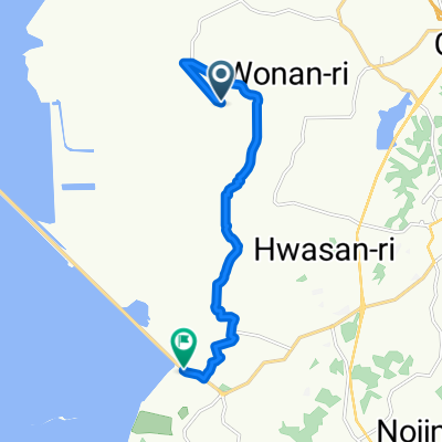
![Ph0]에서 경로비봉면 883-12](https://media.bikemap.net/routes/17556965/staticmaps/in_73541a7d-ac11-4d48-bd16-2aea6551a562_400x400_bikemap-2021-3D-static.png) Ph0]에서 경로비봉면 883-12
Ph0]에서 경로비봉면 883-12- Distance
- 8.9 km
- Ascent
- 44 m
- Descent
- 55 m
- Location
- Hwaseong-si, Gyeonggi-do, South Korea
 Paltan~Hwahongmun~Paltan Route
- Distance
- 44.7 km
- Ascent
- 161 m
- Descent
- 154 m
- Location
- Hwaseong-si, Gyeonggi-do, South Korea
Open it in the app