
From Völkermarkt to Tönning
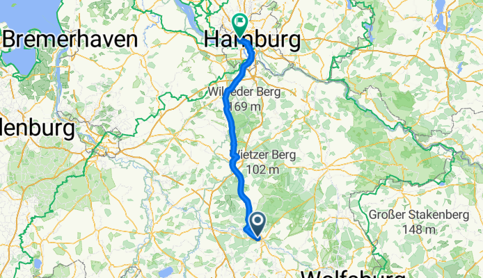
Soltau - Blomesche Wildnis
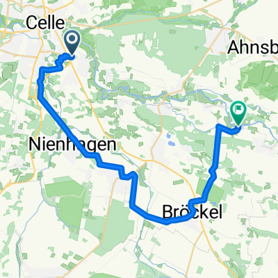
A cycling route starting in Celle, Lower Saxony, Germany.
Overview
About this route
- 7 h 11 min
- Duration
- 127.1 km
- Distance
- 518 m
- Ascent
- 530 m
- Descent
- 17.7 km/h
- Avg. speed
- 101 m
- Max. altitude

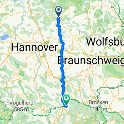
Part of
From Völkermarkt to Tönning
12 stages
Route quality
Waytypes & surfaces along the route
Waytypes
Path
100.4 km
(79 %)
Quiet road
10.2 km
(8 %)
Surfaces
Paved
111.8 km
(88 %)
Asphalt
106.8 km
(84 %)
Concrete
3.8 km
(3 %)
Continue with Bikemap
Use, edit, or download this cycling route
You would like to ride Soltau - Blomesche Wildnis or customize it for your own trip? Here is what you can do with this Bikemap route:
Free features
- Save this route as favorite or in collections
- Copy & plan your own version of this route
- Split it into stages to create a multi-day tour
- Sync your route with Garmin or Wahoo
Premium features
Free trial for 3 days, or one-time payment. More about Bikemap Premium.
- Navigate this route on iOS & Android
- Export a GPX / KML file of this route
- Create your custom printout (try it for free)
- Download this route for offline navigation
Discover more Premium features.
Get Bikemap PremiumFrom our community
Other popular routes starting in Celle
 Celle - Seesen
- Distance
- 98.1 km
- Ascent
- 576 m
- Descent
- 414 m
- Location
- Celle, Lower Saxony, Germany
 2012/3 Celle-Neustadt a. Rübenberg
- Distance
- 82 km
- Ascent
- 81 m
- Descent
- 81 m
- Location
- Celle, Lower Saxony, Germany
 Cross-Tour 8 CTF-Allertal (2 Runden) 62 km
- Distance
- 61.8 km
- Ascent
- 142 m
- Descent
- 142 m
- Location
- Celle, Lower Saxony, Germany
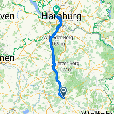 Soltau - Blomesche Wildnis
- Distance
- 127.1 km
- Ascent
- 518 m
- Descent
- 530 m
- Location
- Celle, Lower Saxony, Germany
 Wittingerstr nach oppershausen der Aller entlang
- Distance
- 29.4 km
- Ascent
- 52 m
- Descent
- 51 m
- Location
- Celle, Lower Saxony, Germany
 Scheuener Straße nach Sunder
- Distance
- 23.4 km
- Ascent
- 75 m
- Descent
- 88 m
- Location
- Celle, Lower Saxony, Germany
 Celler_radtour_nr_2
- Distance
- 48.7 km
- Ascent
- 119 m
- Descent
- 118 m
- Location
- Celle, Lower Saxony, Germany
 Spargeltour 2018 Hintour
- Distance
- 27.4 km
- Ascent
- 65 m
- Descent
- 62 m
- Location
- Celle, Lower Saxony, Germany
Open it in the app