
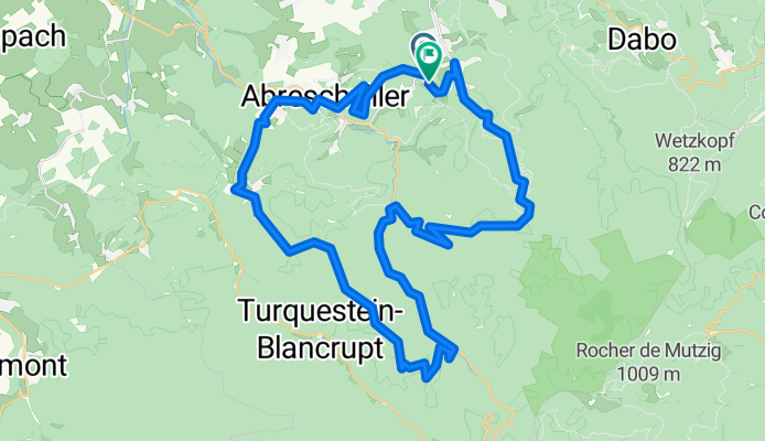
De Munichshof à Munichshof
A cycling route starting in Walscheid, Grand Est, France.
Overview
About this route
- 3 h 26 min
- Duration
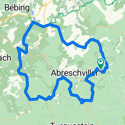
- 47.9 km
- Distance
- 1,089 m
- Ascent
- 1,123 m
- Descent
- 14 km/h
- Avg. speed
- 654 m
- Max. altitude

Continue with Bikemap
Use, edit, or download this cycling route
You would like to ride De Munichshof à Munichshof or customize it for your own trip? Here is what you can do with this Bikemap route:
Free features
- Save this route as favorite or in collections
- Copy & plan your own version of this route
- Sync your route with Garmin or Wahoo
Premium features
Free trial for 3 days, or one-time payment. More about Bikemap Premium.
- Navigate this route on iOS & Android
- Export a GPX / KML file of this route
- Create your custom printout (try it for free)
- Download this route for offline navigation
Discover more Premium features.
Get Bikemap PremiumFrom our community
Other popular routes starting in Walscheid
 test
test- Distance
- 73.6 km
- Ascent
- 1,637 m
- Descent
- 1,621 m
- Location
- Walscheid, Grand Est, France
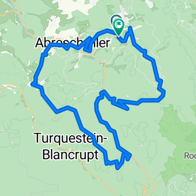 De Munichshof à Munichshof
- Distance
- 47.9 km
- Ascent
- 1,089 m
- Descent
- 1,123 m
- Location
- Walscheid, Grand Est, France
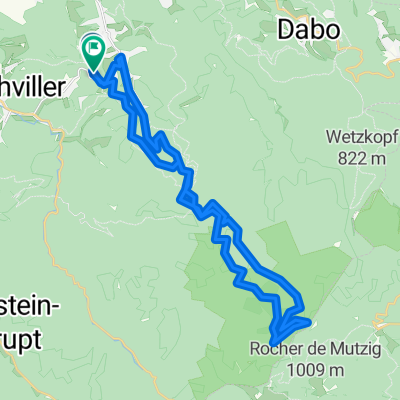 De Munichshof à Munichshof
- Distance
- 34.4 km
- Ascent
- 844 m
- Descent
- 821 m
- Location
- Walscheid, Grand Est, France
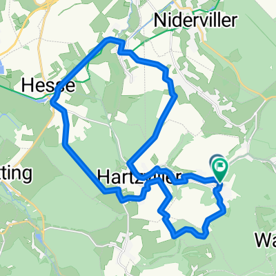
 >Rundkurs über den Col du Donon
- Distance
- 60.1 km
- Ascent
- 925 m
- Descent
- 925 m
- Location
- Walscheid, Grand Est, France
 De Munichshof à Munichshof
- Distance
- 45.5 km
- Ascent
- 1,027 m
- Descent
- 1,065 m
- Location
- Walscheid, Grand Est, France
 freiwald
- Distance
- 22.8 km
- Ascent
- 428 m
- Descent
- 472 m
- Location
- Walscheid, Grand Est, France
 De Saint-Léon à Munichshof
- Distance
- 53.3 km
- Ascent
- 722 m
- Descent
- 707 m
- Location
- Walscheid, Grand Est, France
 Vogesen Tour
- Distance
- 120.6 km
- Ascent
- 1,319 m
- Descent
- 1,319 m
- Location
- Walscheid, Grand Est, France
Open it in the app