
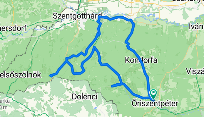
Őriszentpéter 1
A cycling route starting in Zalalövő, Zala County, Hungary.
Overview
About this route
- 3 h 14 min
- Duration
- 60.5 km
- Distance
- 652 m
- Ascent
- 652 m
- Descent
- 18.8 km/h
- Avg. speed
- 357 m
- Max. altitude

Route quality
Waytypes & surfaces along the route
Waytypes
Road
4.2 km
(7 %)
Quiet road
3.6 km
(6 %)
Surfaces
Paved
46.6 km
(77 %)
Unpaved
0.6 km
(1 %)
Asphalt
45.4 km
(75 %)
Concrete
1.2 km
(2 %)
Continue with Bikemap
Use, edit, or download this cycling route
You would like to ride Őriszentpéter 1 or customize it for your own trip? Here is what you can do with this Bikemap route:
Free features
- Save this route as favorite or in collections
- Copy & plan your own version of this route
- Sync your route with Garmin or Wahoo
Premium features
Free trial for 3 days, or one-time payment. More about Bikemap Premium.
- Navigate this route on iOS & Android
- Export a GPX / KML file of this route
- Create your custom printout (try it for free)
- Download this route for offline navigation
Discover more Premium features.
Get Bikemap PremiumFrom our community
Other popular routes starting in Zalalövő
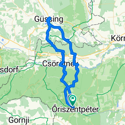
 Őriszentpétertől dékeletre 28km
- Distance
- 28 km
- Ascent
- 203 m
- Descent
- 201 m
- Location
- Zalalövő, Zala County, Hungary
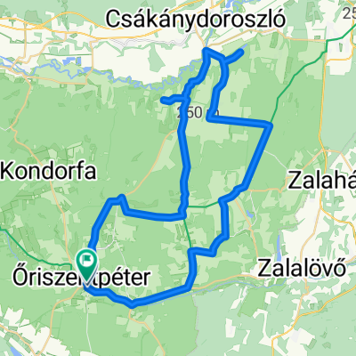
 Őrség túra 62km
- Distance
- 61.6 km
- Ascent
- 270 m
- Descent
- 260 m
- Location
- Zalalövő, Zala County, Hungary
 Őrség_Koko_2
- Distance
- 67.7 km
- Ascent
- 913 m
- Descent
- 923 m
- Location
- Zalalövő, Zala County, Hungary
 Őrség
Őrség- Distance
- 52.6 km
- Ascent
- 325 m
- Descent
- 327 m
- Location
- Zalalövő, Zala County, Hungary
 Túra a Déli Védelmi Rendszer mentén
- Distance
- 157.6 km
- Ascent
- 801 m
- Descent
- 891 m
- Location
- Zalalövő, Zala County, Hungary
 Őrség_Koko_1_v
- Distance
- 33.3 km
- Ascent
- 302 m
- Descent
- 304 m
- Location
- Zalalövő, Zala County, Hungary
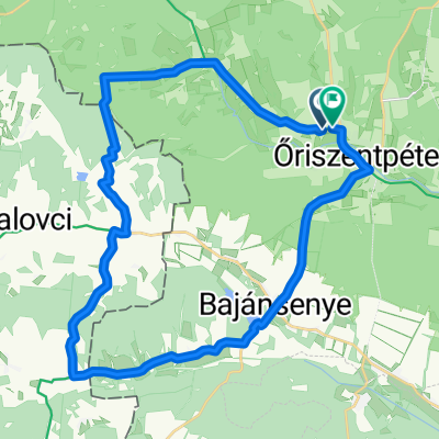
 Route in Őriszentpéter
- Distance
- 32.2 km
- Ascent
- 194 m
- Descent
- 196 m
- Location
- Zalalövő, Zala County, Hungary
 Városszer - Városszer
- Distance
- 100.4 km
- Ascent
- 687 m
- Descent
- 731 m
- Location
- Zalalövő, Zala County, Hungary
Open it in the app