

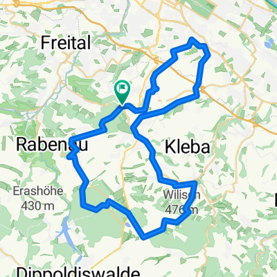
Windberg-Poisenwald-Tharandt
A cycling route starting in Bannewitz, Saxony, Germany.
Overview
About this route
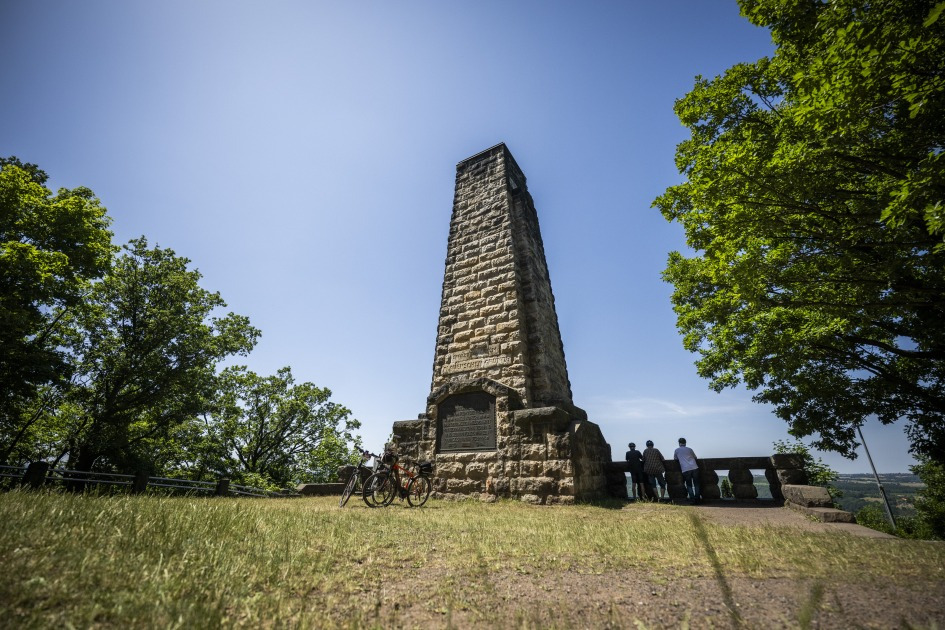
Sehr schöne Tour, mit sehr feinen Trails. Bis auf wenige Stellen nahezu komplett fahrbar.
Leider noch mit einigen Asphaltstücken, die man ohne Probleme umfahren kann.
- -:--
- Duration
- 47.2 km
- Distance
- 865 m
- Ascent
- 865 m
- Descent
- ---
- Avg. speed
- ---
- Max. altitude
Continue with Bikemap
Use, edit, or download this cycling route
You would like to ride Windberg-Poisenwald-Tharandt or customize it for your own trip? Here is what you can do with this Bikemap route:
Free features
- Save this route as favorite or in collections
- Copy & plan your own version of this route
- Sync your route with Garmin or Wahoo
Premium features
Free trial for 3 days, or one-time payment. More about Bikemap Premium.
- Navigate this route on iOS & Android
- Export a GPX / KML file of this route
- Create your custom printout (try it for free)
- Download this route for offline navigation
Discover more Premium features.
Get Bikemap PremiumFrom our community
Other popular routes starting in Bannewitz
 MTB Tour Windberg, Heidemühle, Wilisch, Windberg CLONED FROM ROUTE 182971
- Distance
- 42.5 km
- Ascent
- 628 m
- Descent
- 662 m
- Location
- Bannewitz, Saxony, Germany
 Südhöhe-Kaitzbachquelle und zurück
- Distance
- 9.9 km
- Ascent
- 170 m
- Descent
- 190 m
- Location
- Bannewitz, Saxony, Germany
 kleine Sonntagsrunde
- Distance
- 23 km
- Ascent
- 337 m
- Descent
- 245 m
- Location
- Bannewitz, Saxony, Germany
 RundumTour Bannewitz 2025
- Distance
- 31.6 km
- Ascent
- 447 m
- Descent
- 446 m
- Location
- Bannewitz, Saxony, Germany
 Etapa 046C (Dresden - Děčín)
- Distance
- 91.8 km
- Ascent
- 869 m
- Descent
- 860 m
- Location
- Bannewitz, Saxony, Germany
 Südhöhe - Rundfahrt
- Distance
- 53.5 km
- Ascent
- 792 m
- Descent
- 747 m
- Location
- Bannewitz, Saxony, Germany
 Vonovia-Tour
- Distance
- 28.8 km
- Ascent
- 121 m
- Descent
- 121 m
- Location
- Bannewitz, Saxony, Germany
 👌🏽😎AROUNDTRAILFREITAL😎👌🏽
- Distance
- 60.9 km
- Ascent
- 1,308 m
- Descent
- 1,302 m
- Location
- Bannewitz, Saxony, Germany
Open it in the app