
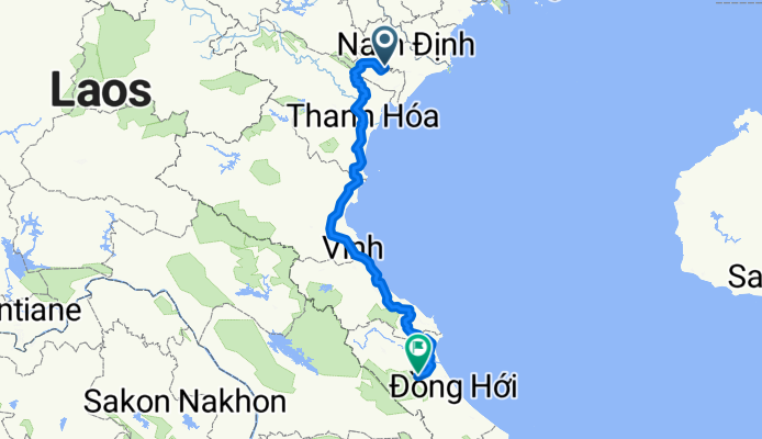
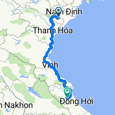
Route to Cao Phong
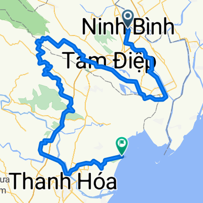
Lương Sơn - Cao Phong
A cycling route starting in Ninh Bình, Ninh Bình Province, Vietnam.
Overview
About this route
- 32 h 48 min
- Duration
- 561.4 km
- Distance
- 2,568 m
- Ascent
- 2,561 m
- Descent
- 17.1 km/h
- Avg. speed
- 169 m
- Max. altitude
Part of
Route to Cao Phong
2 stages
Route quality
Waytypes & surfaces along the route
Waytypes
Quiet road
454.7 km
(81 %)
Road
84.2 km
(15 %)
Surfaces
Paved
11.2 km
(2 %)
Unpaved
11.2 km
(2 %)
Unpaved (undefined)
11.2 km
(2 %)
Asphalt
5.6 km
(1 %)
Continue with Bikemap
Use, edit, or download this cycling route
You would like to ride Lương Sơn - Cao Phong or customize it for your own trip? Here is what you can do with this Bikemap route:
Free features
- Save this route as favorite or in collections
- Copy & plan your own version of this route
- Split it into stages to create a multi-day tour
- Sync your route with Garmin or Wahoo
Premium features
Free trial for 3 days, or one-time payment. More about Bikemap Premium.
- Navigate this route on iOS & Android
- Export a GPX / KML file of this route
- Create your custom printout (try it for free)
- Download this route for offline navigation
Discover more Premium features.
Get Bikemap PremiumFrom our community
Other popular routes starting in Ninh Bình
 Lương Sơn - Cao Phong
- Distance
- 561.4 km
- Ascent
- 2,568 m
- Descent
- 2,561 m
- Location
- Ninh Bình, Ninh Bình Province, Vietnam
 jour 2 tam coc
- Distance
- 4.7 km
- Ascent
- 10 m
- Descent
- 83 m
- Location
- Ninh Bình, Ninh Bình Province, Vietnam
 From Ninh Bình to Hà Trung
- Distance
- 197.3 km
- Ascent
- 1,085 m
- Descent
- 1,076 m
- Location
- Ninh Bình, Ninh Bình Province, Vietnam
 bike tour through Ninh Bình
- Distance
- 19.2 km
- Ascent
- 114 m
- Descent
- 112 m
- Location
- Ninh Bình, Ninh Bình Province, Vietnam
 Tam Coc @Vietnam
- Distance
- 4.5 km
- Ascent
- 56 m
- Descent
- 47 m
- Location
- Ninh Bình, Ninh Bình Province, Vietnam
 ninh binh to cay thuy
- Distance
- 80.8 km
- Ascent
- 1,111 m
- Descent
- 1,119 m
- Location
- Ninh Bình, Ninh Bình Province, Vietnam
 J080 - dimanche 29 mars 2015 - Ninh Binh - Hang Mua - Tam Coc - Ninh Binh
- Distance
- 33 km
- Ascent
- 81 m
- Descent
- 82 m
- Location
- Ninh Bình, Ninh Bình Province, Vietnam
 Day 398
- Distance
- 106.5 km
- Ascent
- 12 m
- Descent
- 11 m
- Location
- Ninh Bình, Ninh Bình Province, Vietnam
Open it in the app