
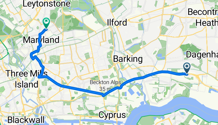
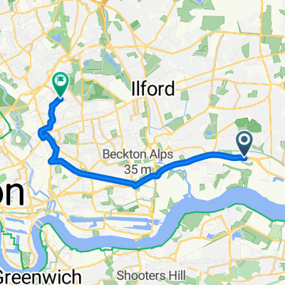
Scrattons Terrace, Barking to Trumpington Road, London
- 14 km
- 35 m
- 25 m
- Becontree, England, United Kingdom
A cycling route starting in Becontree, England, United Kingdom.
Overview
Discover the perfect blend of adventure and tranquility with this scenic cycling route, ideal for both casual riders and experienced cyclists. Covering a total distance of 14.0 km, this route offers a gentle ascent of 34 meters and a smooth descent of 25 meters. Reach your peak at the maximum elevation of 18 meters, providing a rewarding challenge for cyclists of all levels. The route's surface type varies, with sections of paved paths and unpaved trails that add an element of surprise and excitement. Whether you're looking to enjoy a leisurely ride or a more adventurous journey, this cycling path promises an enjoyable experience through picturesque landscapes and diverse terrain.
AI generated
created this 5 months ago
Route quality
Cycleway
10.4 km
74 %
Road
1.4 km
10 %
Paved
12.9 km
(92 %)
Asphalt
11.6 km
83 %
Paved (undefined)
1.3 km
9 %
Undefined
1.1 km
8 %
Continue with Bikemap
You would like to ride Scrattons Terrace, Barking to Trumpington Road, London or customize it for your own trip? Here is what you can do with this Bikemap route:
Free trial for 3 days, or one-time payment. More about Bikemap Premium.
Discover more Premium features.
Get Bikemap PremiumFrom our community
Open it in the app


