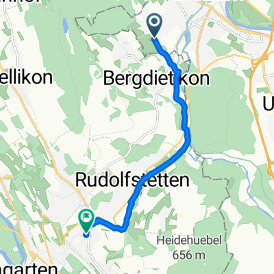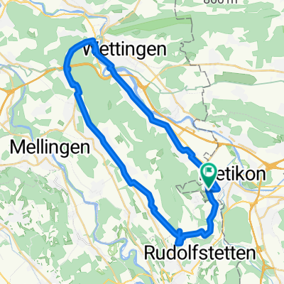
Dünnistrasse, Bergdietikon nach Dünnistrasse, Bergdietikon
- 40.8 km
- 881 m
- 883 m
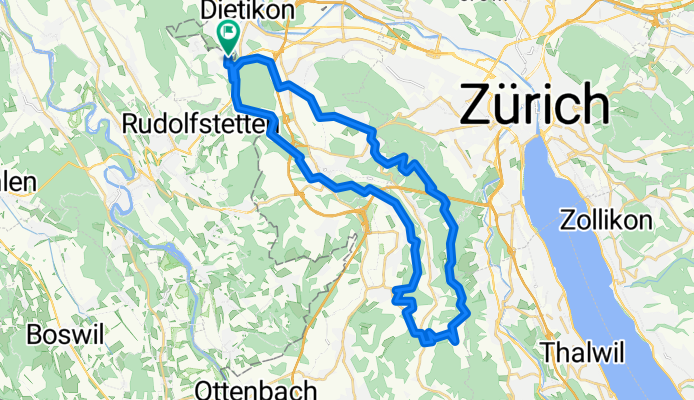
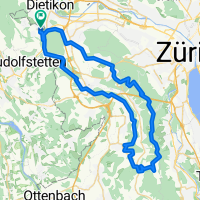
- Dietikon / Oberdorf, Canton of Zurich, Switzerland
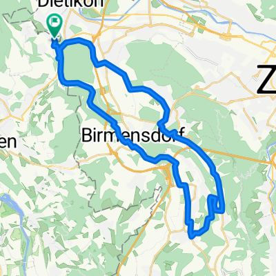
A cycling route starting in Dietikon / Oberdorf, Canton of Zurich, Switzerland.
Overview
Embark on an exhilarating 40.8 km cycling adventure through picturesque landscapes, where every twist and turn offers a new vista. Begin your journey with a gentle ascent of 880 meters, gradually building your strength and endurance. As you pedal, prepare for a thrilling descent of 883 meters, providing a perfect balance of challenge and excitement. The route culminates at a maximum elevation of 866 meters, offering panoramic views that reward your efforts. With a mix of paved and unpaved paths, this route promises a dynamic and engaging experience for cyclists of all levels.
AI generated
created this 2 months ago
Route quality
Track
20 km
(49 %)
Quiet road
10.6 km
(26 %)
Paved
24.1 km
(59 %)
Unpaved
15.1 km
(37 %)
Asphalt
22.4 km
(55 %)
Gravel
12.7 km
(31 %)
Continue with Bikemap
You would like to ride Dünnistrasse, Bergdietikon nach Dünnistrasse, Bergdietikon or customize it for your own trip? Here is what you can do with this Bikemap route:
Free trial for 3 days, or one-time payment. More about Bikemap Premium.
Discover more Premium features.
Get Bikemap PremiumFrom our community
Open it in the app