

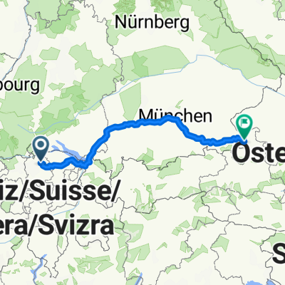
Tour de Canton
A cycling route starting in Stadt Winterthur (Kreis 1) / Brühlberg, Canton of Zurich, Switzerland.
Overview
About this route
- -:--
- Duration
- 113.1 km
- Distance
- 549 m
- Ascent
- 549 m
- Descent
- ---
- Avg. speed
- ---
- Max. altitude
Route quality
Waytypes & surfaces along the route
Waytypes
Busy road
69 km
(61 %)
Quiet road
16.7 km
(15 %)
Surfaces
Paved
104 km
(92 %)
Unpaved
1.3 km
(1 %)
Asphalt
103 km
(91 %)
Gravel
1.2 km
(1 %)
Continue with Bikemap
Use, edit, or download this cycling route
You would like to ride Tour de Canton or customize it for your own trip? Here is what you can do with this Bikemap route:
Free features
- Save this route as favorite or in collections
- Copy & plan your own version of this route
- Split it into stages to create a multi-day tour
- Sync your route with Garmin or Wahoo
Premium features
Free trial for 3 days, or one-time payment. More about Bikemap Premium.
- Navigate this route on iOS & Android
- Export a GPX / KML file of this route
- Create your custom printout (try it for free)
- Download this route for offline navigation
Discover more Premium features.
Get Bikemap PremiumFrom our community
Other popular routes starting in Stadt Winterthur (Kreis 1) / Brühlberg
 Winterthur - Hochfelden
- Distance
- 32.3 km
- Ascent
- 395 m
- Descent
- 419 m
- Location
- Stadt Winterthur (Kreis 1) / Brühlberg, Canton of Zurich, Switzerland
 Europa Tour 13 Winterthur - Grat
- Distance
- 113.6 km
- Ascent
- 2,350 m
- Descent
- 1,898 m
- Location
- Stadt Winterthur (Kreis 1) / Brühlberg, Canton of Zurich, Switzerland
 Schlosshofstrasse 44, Winterthur nach Wangen, Öhningen
- Distance
- 38.7 km
- Ascent
- 370 m
- Descent
- 407 m
- Location
- Stadt Winterthur (Kreis 1) / Brühlberg, Canton of Zurich, Switzerland
 Bauma -- Winterthur
- Distance
- 47 km
- Ascent
- 654 m
- Descent
- 653 m
- Location
- Stadt Winterthur (Kreis 1) / Brühlberg, Canton of Zurich, Switzerland
 54km bülach wangen
- Distance
- 54.4 km
- Ascent
- 519 m
- Descent
- 521 m
- Location
- Stadt Winterthur (Kreis 1) / Brühlberg, Canton of Zurich, Switzerland
 Gerade Fahrt in Winterthur
- Distance
- 21.8 km
- Ascent
- 431 m
- Descent
- 438 m
- Location
- Stadt Winterthur (Kreis 1) / Brühlberg, Canton of Zurich, Switzerland
 Winti - Salzburg
- Distance
- 480.3 km
- Ascent
- 4,209 m
- Descent
- 4,227 m
- Location
- Stadt Winterthur (Kreis 1) / Brühlberg, Canton of Zurich, Switzerland
 Brütten retour
- Distance
- 8.8 km
- Ascent
- 225 m
- Descent
- 24 m
- Location
- Stadt Winterthur (Kreis 1) / Brühlberg, Canton of Zurich, Switzerland
Open it in the app