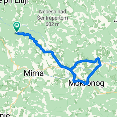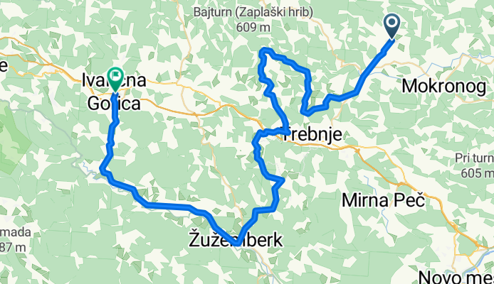


C5: Šentrupert - Žužemberk - Ivančna Gorica
- 63 km
- 435 m
- 389 m
- Šentrupert na Dolenjskem, Občina Šentrupert, Slovenia
A cycling route starting in Šentrupert na Dolenjskem, Občina Šentrupert, Slovenia.
Overview
Šentrupert - Mirna - Račje selo - Čatež - Velika Loka - Dobrnič - Žužemberk - Zagradec - Muljava - Ivančna Gorica
created this 13 years ago
Route quality
Quiet road
13.9 km
(22 %)
Road
11.3 km
(18 %)
Undefined
37.8 km
(60 %)
Paved
22 km
(35 %)
Asphalt
22 km
(35 %)
Undefined
40.9 km
(65 %)
Continue with Bikemap
You would like to ride C5: Šentrupert - Žužemberk - Ivančna Gorica or customize it for your own trip? Here is what you can do with this Bikemap route:
Free trial for 3 days, or one-time payment. More about Bikemap Premium.
Discover more Premium features.
Get Bikemap PremiumFrom our community
Open it in the app