
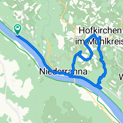
Donaurunde Obernzell - Niederranna und zurück
A cycling route starting in Pfarrkirchen im Mühlkreis, Upper Austria, Austria.
Overview
About this route
- 1 h 15 min
- Duration
- 36.8 km
- Distance
- 286 m
- Ascent
- 413 m
- Descent
- 29.5 km/h
- Avg. speed
- 403 m
- Max. altitude

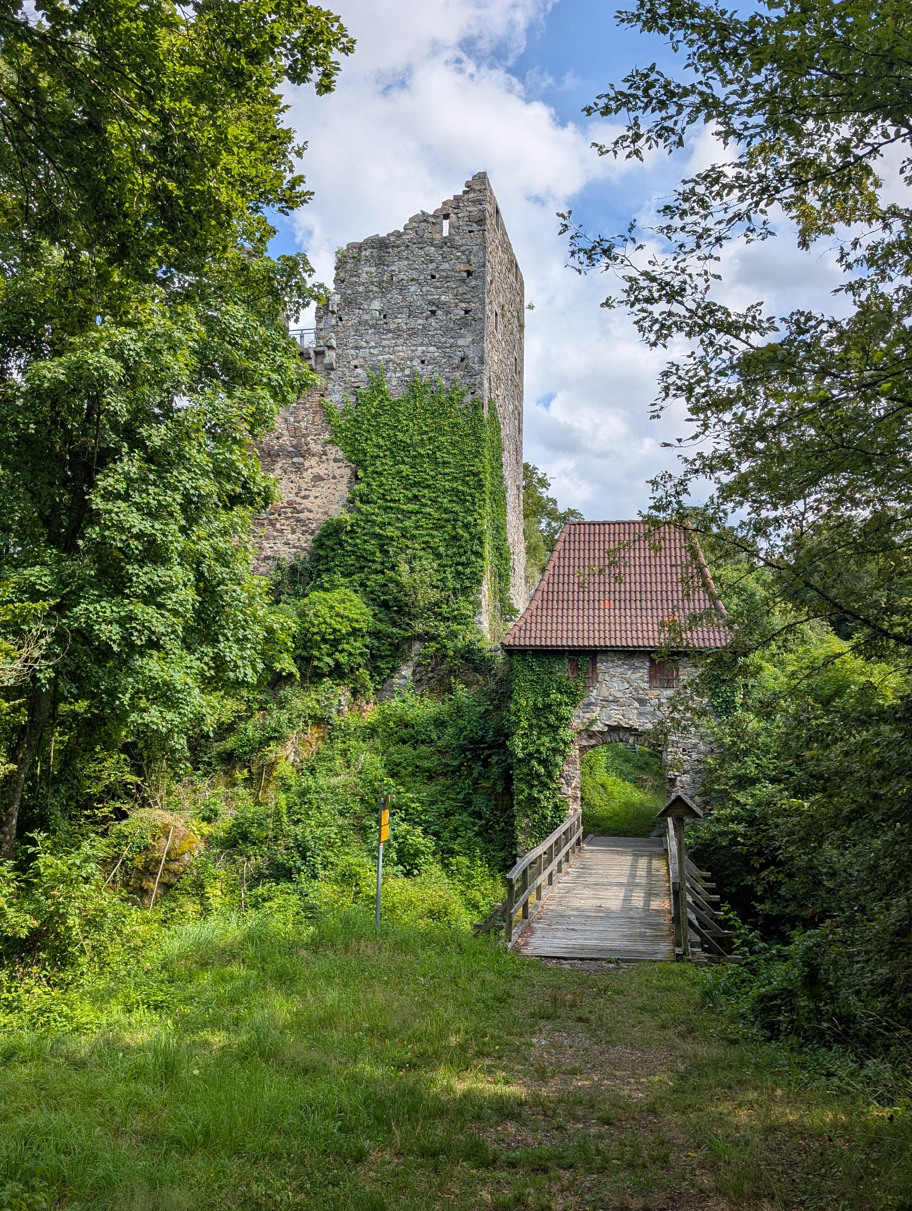
Route photos


Route quality
Waytypes & surfaces along the route
Waytypes
Cycleway
10.3 km
(28 %)
Road
8.8 km
(24 %)
Surfaces
Paved
33.5 km
(91 %)
Unpaved
0.7 km
(2 %)
Asphalt
32.8 km
(89 %)
Concrete
0.7 km
(2 %)
Continue with Bikemap
Use, edit, or download this cycling route
You would like to ride Donaurunde Obernzell - Niederranna und zurück or customize it for your own trip? Here is what you can do with this Bikemap route:
Free features
- Save this route as favorite or in collections
- Copy & plan your own version of this route
- Sync your route with Garmin or Wahoo
Premium features
Free trial for 3 days, or one-time payment. More about Bikemap Premium.
- Navigate this route on iOS & Android
- Export a GPX / KML file of this route
- Create your custom printout (try it for free)
- Download this route for offline navigation
Discover more Premium features.
Get Bikemap PremiumFrom our community
Other popular routes starting in Pfarrkirchen im Mühlkreis
 Pfarrkirchen im Mühlkreis - Feldkirchen an der Donau
- Distance
- 24.5 km
- Ascent
- 650 m
- Descent
- 644 m
- Location
- Pfarrkirchen im Mühlkreis, Upper Austria, Austria
 Route zu Gasthof Luger
- Distance
- 15.2 km
- Ascent
- 413 m
- Descent
- 416 m
- Location
- Pfarrkirchen im Mühlkreis, Upper Austria, Austria
 Teil 7: Von Engelhartszell bis Gallneukirchen
- Distance
- 82.4 km
- Ascent
- 1,349 m
- Descent
- 1,314 m
- Location
- Pfarrkirchen im Mühlkreis, Upper Austria, Austria
 Efteling - Tag 5
- Distance
- 62.4 km
- Ascent
- 183 m
- Descent
- 166 m
- Location
- Pfarrkirchen im Mühlkreis, Upper Austria, Austria
 Deggendorf - Pfarrkirchen im Mühlkreis
- Distance
- 3.5 km
- Ascent
- 39 m
- Descent
- 68 m
- Location
- Pfarrkirchen im Mühlkreis, Upper Austria, Austria
 DonauTalMan
- Distance
- 146.1 km
- Ascent
- 3,060 m
- Descent
- 3,055 m
- Location
- Pfarrkirchen im Mühlkreis, Upper Austria, Austria
 E10.2. 16.7.25 Passau nach Au
- Distance
- 16.2 km
- Ascent
- 87 m
- Descent
- 149 m
- Location
- Pfarrkirchen im Mühlkreis, Upper Austria, Austria
 Donau-Radweg Etappe 2.1
- Distance
- 21.4 km
- Ascent
- 250 m
- Descent
- 283 m
- Location
- Pfarrkirchen im Mühlkreis, Upper Austria, Austria
Open it in the app