
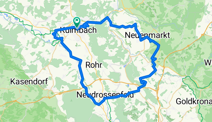
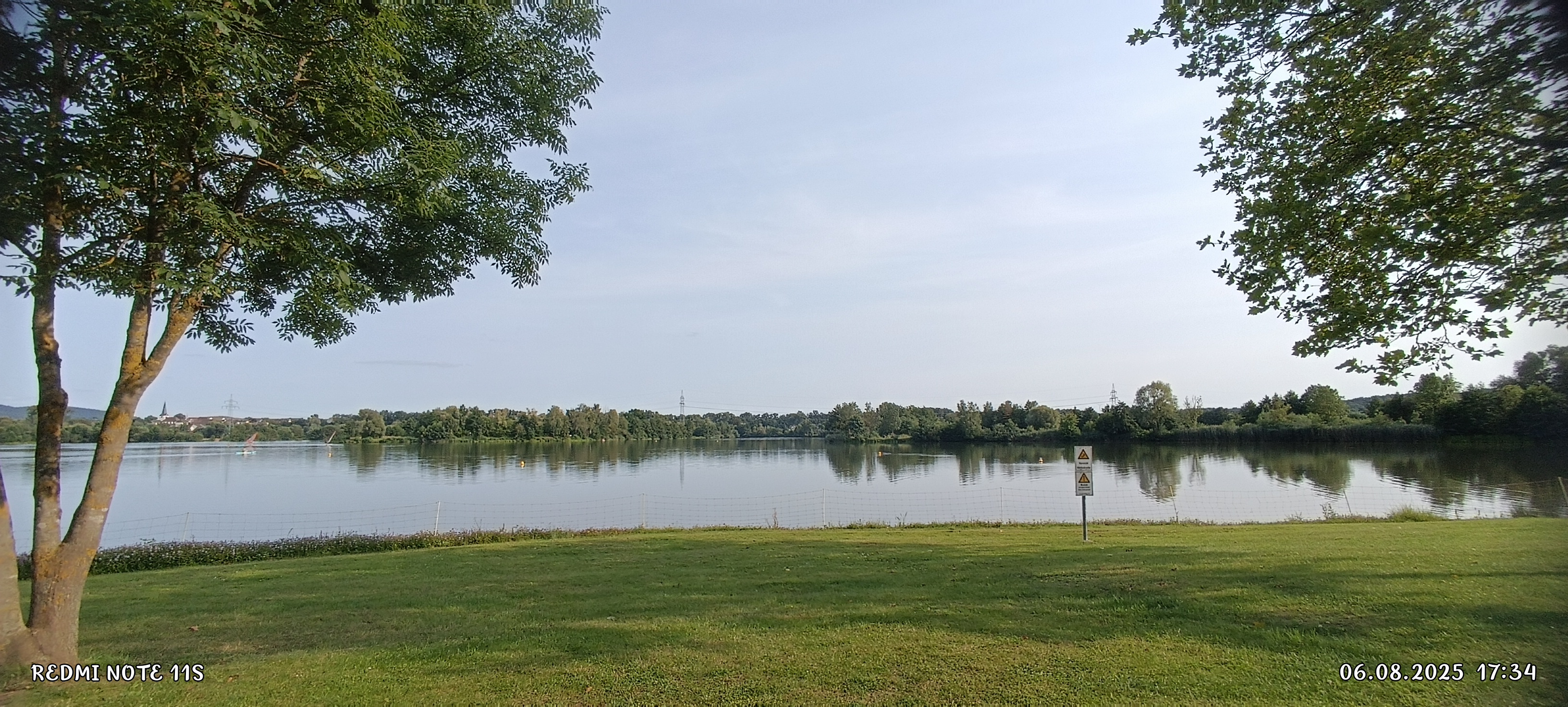
Kulmbach RF
A cycling route starting in Kulmbach, Bavaria, Germany.
Overview
About this route
- 3 h 33 min
- Duration
- 54.4 km
- Distance
- 662 m
- Ascent
- 662 m
- Descent
- 15.3 km/h
- Avg. speed
- 482 m
- Max. altitude

Continue with Bikemap
Use, edit, or download this cycling route
You would like to ride Kulmbach RF or customize it for your own trip? Here is what you can do with this Bikemap route:
Free features
- Save this route as favorite or in collections
- Copy & plan your own version of this route
- Sync your route with Garmin or Wahoo
Premium features
Free trial for 3 days, or one-time payment. More about Bikemap Premium.
- Navigate this route on iOS & Android
- Export a GPX / KML file of this route
- Create your custom printout (try it for free)
- Download this route for offline navigation
Discover more Premium features.
Get Bikemap PremiumFrom our community
Other popular routes starting in Kulmbach
 Расслабленный маршрут
- Distance
- 16.1 km
- Ascent
- 199 m
- Descent
- 245 m
- Location
- Kulmbach, Bavaria, Germany
 Sonntagsrunde
- Distance
- 44.9 km
- Ascent
- 214 m
- Descent
- 214 m
- Location
- Kulmbach, Bavaria, Germany
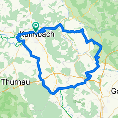
 Ku BT Obernsees Hollfeld Kdorf Ku
- Distance
- 87.8 km
- Ascent
- 344 m
- Descent
- 367 m
- Location
- Kulmbach, Bavaria, Germany
 Oberlandtour
- Distance
- 54.3 km
- Ascent
- 528 m
- Descent
- 527 m
- Location
- Kulmbach, Bavaria, Germany
 Kulmbach RF
- Distance
- 54.4 km
- Ascent
- 662 m
- Descent
- 662 m
- Location
- Kulmbach, Bavaria, Germany
 2017_05 Wickenreuth E-Bike-Tour
- Distance
- 37.3 km
- Ascent
- 443 m
- Descent
- 443 m
- Location
- Kulmbach, Bavaria, Germany
 KU Maineck Weismain Stadeln KDorf Zertritt KU
- Distance
- 71.7 km
- Ascent
- 378 m
- Descent
- 372 m
- Location
- Kulmbach, Bavaria, Germany
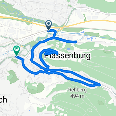 Fischergasse nach Fritz-Hornschuch-Straße
- Distance
- 7.1 km
- Ascent
- 172 m
- Descent
- 209 m
- Location
- Kulmbach, Bavaria, Germany
Open it in the app