Midtskogen 1B to Hogsnesbakken 111
- 73.1 km
- 554 m
- 654 m
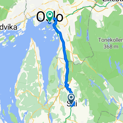
- Ski, Akershus, Norway
A cycling route starting in Ski, Akershus, Norway.
Overview
Follo SK sin tirsdagstrening, 7. august 2012. Snittet var 29,5 - 30 km/t. Fire ryttere.
created this 13 years ago
Route quality
Cycleway
5.8 km
(10 %)
Quiet road
2.3 km
(4 %)
Paved
54.6 km
(95 %)
Unpaved
0.6 km
(1 %)
Asphalt
54.6 km
(95 %)
Unpaved (undefined)
0.6 km
(1 %)
Undefined
2.3 km
(4 %)
Continue with Bikemap
You would like to ride Tomterrunden - Follo SK, Aug 7, 2012 or customize it for your own trip? Here is what you can do with this Bikemap route:
Free trial for 3 days, or one-time payment. More about Bikemap Premium.
Discover more Premium features.
Get Bikemap PremiumFrom our community
Open it in the app