

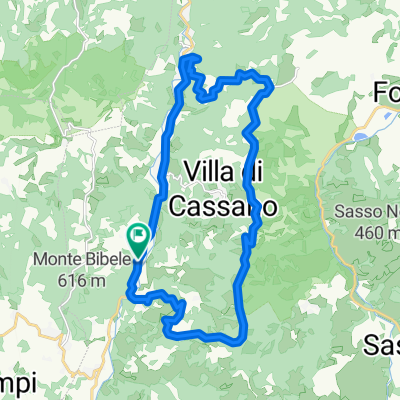
Da Via Zena a Monte Bibele
A cycling route starting in Loiano, Emilia-Romagna, Italy.
Overview
About this route
- 1 h 27 min
- Duration
- 0.9 km
- Distance
- 70 m
- Ascent
- 61 m
- Descent
- 0.6 km/h
- Avg. speed
- 598 m
- Max. altitude

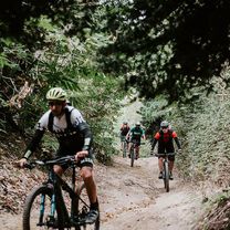
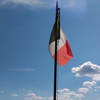
Route photos


Route quality
Waytypes & surfaces along the route
Waytypes
Path
0.7 km
(75 %)
Track
0.2 km
(25 %)
Surfaces
Unpaved
0.3 km
(33 %)
Ground
0.3 km
(33 %)
Undefined
0.6 km
(67 %)
Continue with Bikemap
Use, edit, or download this cycling route
You would like to ride Da Via Zena a Monte Bibele or customize it for your own trip? Here is what you can do with this Bikemap route:
Free features
- Save this route as favorite or in collections
- Copy & plan your own version of this route
- Sync your route with Garmin or Wahoo
Premium features
Free trial for 3 days, or one-time payment. More about Bikemap Premium.
- Navigate this route on iOS & Android
- Export a GPX / KML file of this route
- Create your custom printout (try it for free)
- Download this route for offline navigation
Discover more Premium features.
Get Bikemap PremiumFrom our community
Other popular routes starting in Loiano
 Riccio Trail
- Distance
- 26.2 km
- Ascent
- 801 m
- Descent
- 804 m
- Location
- Loiano, Emilia-Romagna, Italy
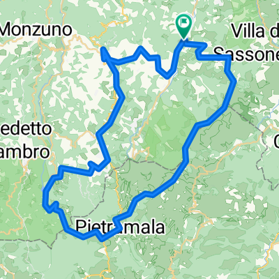
 Da Via Zena a Via Bonomi
- Distance
- 91.8 km
- Ascent
- 133 m
- Descent
- 713 m
- Location
- Loiano, Emilia-Romagna, Italy
 loiano-monzuno-m.fornelli-futa-raticosa-monghidoro-loiano
- Distance
- 65.2 km
- Ascent
- 1,745 m
- Descent
- 1,737 m
- Location
- Loiano, Emilia-Romagna, Italy
 bisano,sassoleone,castel del rio ,raticosa
- Distance
- 74.7 km
- Ascent
- 1,941 m
- Descent
- 1,934 m
- Location
- Loiano, Emilia-Romagna, Italy
 Bisano,raticosa,castel alpi,monghidoro,loiano,bisano
- Distance
- 58.7 km
- Ascent
- 1,130 m
- Descent
- 1,117 m
- Location
- Loiano, Emilia-Romagna, Italy
 via collina
- Distance
- 24.1 km
- Ascent
- 561 m
- Descent
- 556 m
- Location
- Loiano, Emilia-Romagna, Italy
 Progetto loiano barbarolo
- Distance
- 18.7 km
- Ascent
- 595 m
- Descent
- 597 m
- Location
- Loiano, Emilia-Romagna, Italy
 ALL-IN trail accessibile
- Distance
- 21.6 km
- Ascent
- 588 m
- Descent
- 587 m
- Location
- Loiano, Emilia-Romagna, Italy
Open it in the app