
tamos mas cansaos que la c
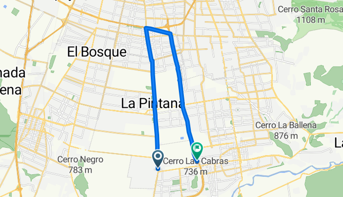
A cycling route starting in La Pintana, Santiago Metropolitan, Chile.
Overview
About this route
- 2 h 8 min
- Duration
- 18.5 km
- Distance
- 117 m
- Ascent
- 88 m
- Descent
- 8.7 km/h
- Avg. speed
- 695 m
- Max. altitude

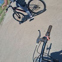
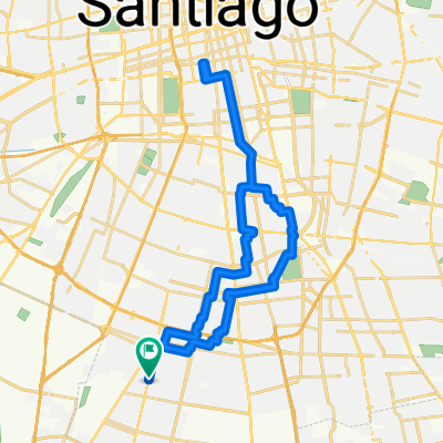
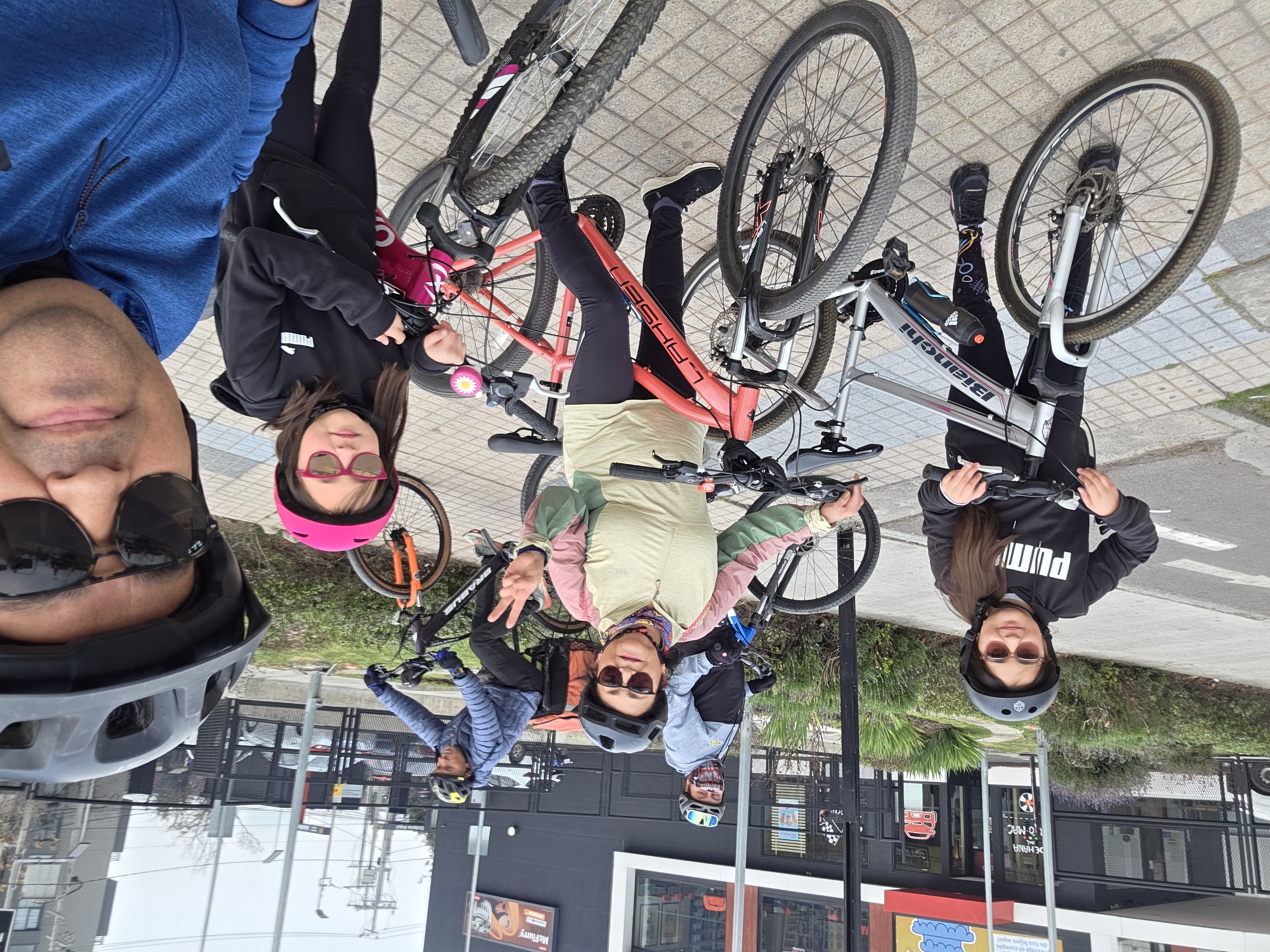
Route photos

Route quality
Waytypes & surfaces along the route
Waytypes
Cycleway
7.6 km
(41 %)
Pedestrian area
3.9 km
(21 %)
Surfaces
Paved
17 km
(92 %)
Concrete
7.8 km
(42 %)
Asphalt
5.2 km
(28 %)
Continue with Bikemap
Use, edit, or download this cycling route
You would like to ride tamos mas cansaos que la c or customize it for your own trip? Here is what you can do with this Bikemap route:
Free features
- Save this route as favorite or in collections
- Copy & plan your own version of this route
- Sync your route with Garmin or Wahoo
Premium features
Free trial for 3 days, or one-time payment. More about Bikemap Premium.
- Navigate this route on iOS & Android
- Export a GPX / KML file of this route
- Create your custom printout (try it for free)
- Download this route for offline navigation
Discover more Premium features.
Get Bikemap PremiumFrom our community
Other popular routes starting in La Pintana
 tamos mas cansaos que la c
- Distance
- 18.5 km
- Ascent
- 117 m
- Descent
- 88 m
- Location
- La Pintana, Santiago Metropolitan, Chile
 De Los Patos a Los Patos
- Distance
- 36.2 km
- Ascent
- 90 m
- Descent
- 92 m
- Location
- La Pintana, Santiago Metropolitan, Chile
 La Pintana - Isla de maipo - La pintana
- Distance
- 93.5 km
- Ascent
- 531 m
- Descent
- 559 m
- Location
- La Pintana, Santiago Metropolitan, Chile
 RUTA A OXFORD
- Distance
- 18.4 km
- Ascent
- 31 m
- Descent
- 99 m
- Location
- La Pintana, Santiago Metropolitan, Chile
 Quebrada Macul
- Distance
- 46.6 km
- Ascent
- 559 m
- Descent
- 539 m
- Location
- La Pintana, Santiago Metropolitan, Chile
 DE CASA A CENTRO DE BICICULTURA
- Distance
- 15.5 km
- Ascent
- 68 m
- Descent
- 47 m
- Location
- La Pintana, Santiago Metropolitan, Chile
 cerro panul
- Distance
- 12.9 km
- Ascent
- 221 m
- Descent
- 9 m
- Location
- La Pintana, Santiago Metropolitan, Chile
 De Inca de Oro a Combarbalá
- Distance
- 20.2 km
- Ascent
- 108 m
- Descent
- 129 m
- Location
- La Pintana, Santiago Metropolitan, Chile
Open it in the app