
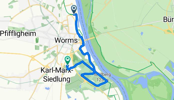
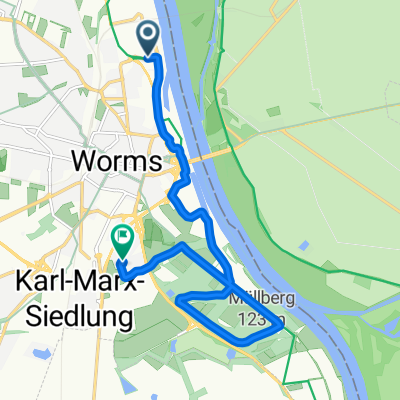
Petrus-Dorn-Straße nach Mittelochsenplatz
A cycling route starting in Worms, Rhineland-Palatinate, Germany.
Overview
About this route
- 1 min
- Duration
- 11.3 km
- Distance
- 110 m
- Ascent
- 179 m
- Descent
- 548.1 km/h
- Avg. speed
- 142 m
- Max. altitude
Route quality
Waytypes & surfaces along the route
Waytypes
Quiet road
6 km
(53 %)
Access road
2.5 km
(22 %)
Surfaces
Paved
8.3 km
(74 %)
Unpaved
0.6 km
(5 %)
Asphalt
8.3 km
(74 %)
Ground
0.6 km
(5 %)
Undefined
2.4 km
(21 %)
Continue with Bikemap
Use, edit, or download this cycling route
You would like to ride Petrus-Dorn-Straße nach Mittelochsenplatz or customize it for your own trip? Here is what you can do with this Bikemap route:
Free features
- Save this route as favorite or in collections
- Copy & plan your own version of this route
- Sync your route with Garmin or Wahoo
Premium features
Free trial for 3 days, or one-time payment. More about Bikemap Premium.
- Navigate this route on iOS & Android
- Export a GPX / KML file of this route
- Create your custom printout (try it for free)
- Download this route for offline navigation
Discover more Premium features.
Get Bikemap PremiumFrom our community
Other popular routes starting in Worms
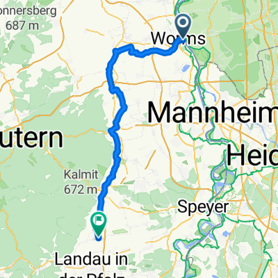 Tour: 2 Worms, Bad Dürkheim, Neustadt a.d. Weinstraße, Maikammer, Edesheim
- Distance
- 69 km
- Ascent
- 439 m
- Descent
- 378 m
- Location
- Worms, Rhineland-Palatinate, Germany
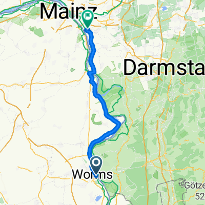 Tour: 5 Alternative Friedmar Worms, Gustavsburg
- Distance
- 49.4 km
- Ascent
- 82 m
- Descent
- 88 m
- Location
- Worms, Rhineland-Palatinate, Germany
 1. Worms - Hoherodskopf
- Distance
- 153 km
- Ascent
- 762 m
- Descent
- 150 m
- Location
- Worms, Rhineland-Palatinate, Germany
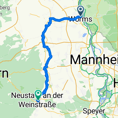 Worms nach Neustadt (Radweg deutsche Weinstraße)
- Distance
- 57.1 km
- Ascent
- 460 m
- Descent
- 417 m
- Location
- Worms, Rhineland-Palatinate, Germany
 Petrus-Dorn-Straße nach Mittelochsenplatz
- Distance
- 11.3 km
- Ascent
- 110 m
- Descent
- 179 m
- Location
- Worms, Rhineland-Palatinate, Germany
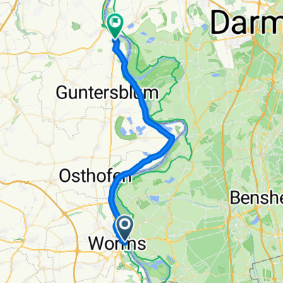 Von Worms bis Nierstein
- Distance
- 33.4 km
- Ascent
- 48 m
- Descent
- 54 m
- Location
- Worms, Rhineland-Palatinate, Germany
 Weisenheimer Hütte
- Distance
- 28.8 km
- Ascent
- 392 m
- Descent
- 126 m
- Location
- Worms, Rhineland-Palatinate, Germany
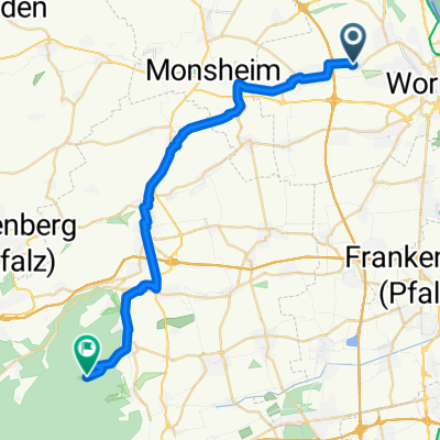
 Monsheimer Straße 22, Worms nach Otto-von-Guericke-Ring 7, Wiesbaden
- Distance
- 74.9 km
- Ascent
- 159 m
- Descent
- 193 m
- Location
- Worms, Rhineland-Palatinate, Germany
Open it in the app