
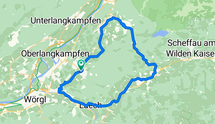
Pölven Radrunde
A cycling route starting in Bad Häring, Tyrol, Austria.
Overview
About this route
- 2 h 2 min
- Duration
- 29.6 km
- Distance
- 488 m
- Ascent
- 490 m
- Descent
- 14.5 km/h
- Avg. speed
- 730 m
- Max. altitude

Route quality
Waytypes & surfaces along the route
Waytypes
Quiet road
12.2 km
(41 %)
Path
6.8 km
(23 %)
Surfaces
Paved
25.2 km
(85 %)
Unpaved
3.6 km
(12 %)
Asphalt
25.2 km
(85 %)
Loose gravel
2.1 km
(7 %)
Continue with Bikemap
Use, edit, or download this cycling route
You would like to ride Pölven Radrunde or customize it for your own trip? Here is what you can do with this Bikemap route:
Free features
- Save this route as favorite or in collections
- Copy & plan your own version of this route
- Sync your route with Garmin or Wahoo
Premium features
Free trial for 3 days, or one-time payment. More about Bikemap Premium.
- Navigate this route on iOS & Android
- Export a GPX / KML file of this route
- Create your custom printout (try it for free)
- Download this route for offline navigation
Discover more Premium features.
Get Bikemap PremiumFrom our community
Other popular routes starting in Bad Häring
 kirchbichl-umrathshausen
- Distance
- 55.6 km
- Ascent
- 443 m
- Descent
- 340 m
- Location
- Bad Häring, Tyrol, Austria
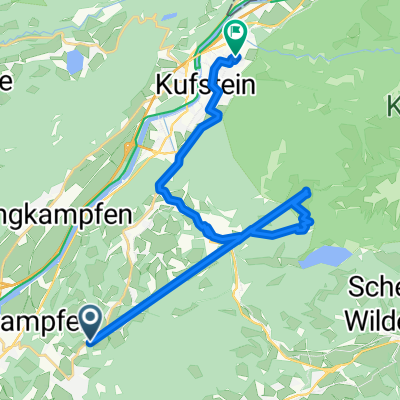
 Bad Häring - Buchacker
- Distance
- 32.6 km
- Ascent
- 1,004 m
- Descent
- 1,007 m
- Location
- Bad Häring, Tyrol, Austria
 B.H. - Eiberg - Hintersteinersee - Söll - B.H.
- Distance
- 40.8 km
- Ascent
- 858 m
- Descent
- 858 m
- Location
- Bad Häring, Tyrol, Austria
 Bad Häring - Rattenberg - Kramsach - Museum Tiroler Bauernhöfe (mit Kirchtag)
- Distance
- 58.9 km
- Ascent
- 452 m
- Descent
- 452 m
- Location
- Bad Häring, Tyrol, Austria
 Weinbergerhaus / Brentenjoch Trail
- Distance
- 42.9 km
- Ascent
- 989 m
- Descent
- 989 m
- Location
- Bad Häring, Tyrol, Austria
 Fleckstraße nach Terlaner Straße
- Distance
- 29.3 km
- Ascent
- 528 m
- Descent
- 1,262 m
- Location
- Bad Häring, Tyrol, Austria
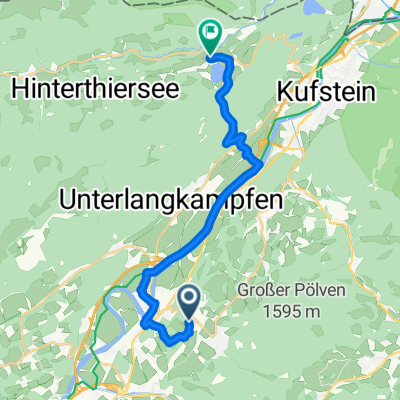 Bad Häring - Thiersee
- Distance
- 16 km
- Ascent
- 366 m
- Descent
- 339 m
- Location
- Bad Häring, Tyrol, Austria
 12. Etappe der Italientour
- Distance
- 182.7 km
- Ascent
- 667 m
- Descent
- 934 m
- Location
- Bad Häring, Tyrol, Austria
Open it in the app