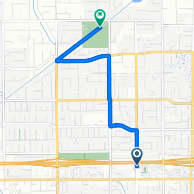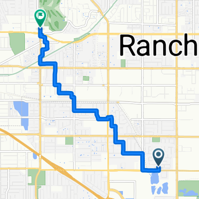


Recording from January 10, 9:39 AM
- 19.9 km
- 441 m
- 440 m
- Rancho Cucamonga, California, United States
A cycling route starting in Rancho Cucamonga, California, United States.
Overview
created this 2 months ago
Route quality
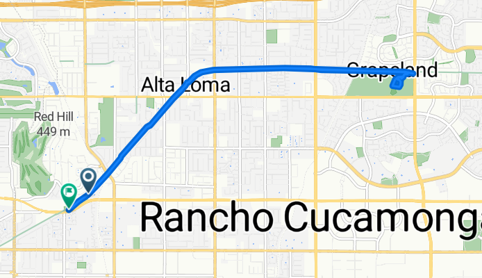
Cycleway
12.7 km
(90 %)
Access road
0.7 km
(5 %)
Pedestrian area
0.7 km
(5 %)
Paved
12.7 km
(90 %)
Unpaved
0.7 km
(5 %)
Concrete
11.7 km
(83 %)
Paved (undefined)
0.7 km
(5 %)
Continue with Bikemap
You would like to ride Pacific Electric Trail, Rancho Cucamonga to Foothill Blvd, Rancho Cucamonga or customize it for your own trip? Here is what you can do with this Bikemap route:
Free trial for 3 days, or one-time payment. More about Bikemap Premium.
Discover more Premium features.
Get Bikemap PremiumFrom our community
Open it in the app