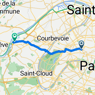


clichy-palaiseau-clichy
- 61.9 km
- 348 m
- 347 m
- Clichy, Île-de-France Region, France
A cycling route starting in Clichy, Île-de-France Region, France.
Overview
Embark on a delightful 1.5 km cycling adventure that offers a gentle challenge. Begin your journey by navigating a smooth paved path, perfect for leisurely rides. As you pedal along, you'll encounter a slight 3-meter ascent, providing a gentle boost to your stamina. Followed by a 16-meter descent, this route rewards you with a serene downhill experience. The terrain gently rises to a maximum elevation of 51 meters, ensuring a balanced and enjoyable ride. This route is ideal for those seeking a mix of flat stretches and gentle inclines, perfect for a refreshing outdoor escape.
AI generated
created this 2 months ago
Route quality
Quiet road
0.8 km
(53 %)
Road
0.6 km
(40 %)
Undefined
0.1 km
(7 %)
Paved
1.4 km
(91 %)
Asphalt
1.4 km
(91 %)
Undefined
0.1 km
(9 %)
Continue with Bikemap
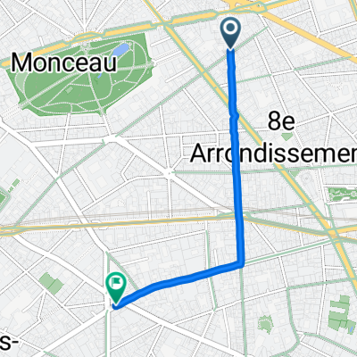
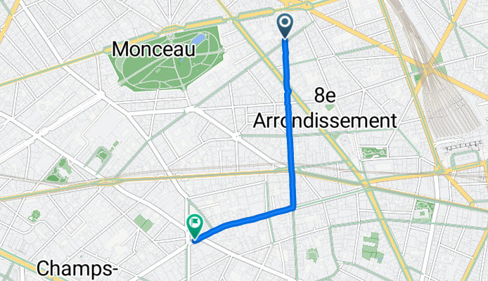
You would like to ride Boulevard de Courcelles, Paris à Rue la Boétie, Paris or customize it for your own trip? Here is what you can do with this Bikemap route:
Free trial for 3 days, or one-time payment. More about Bikemap Premium.
Discover more Premium features.
Get Bikemap PremiumFrom our community
Open it in the app