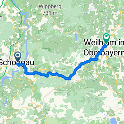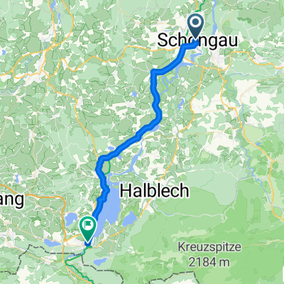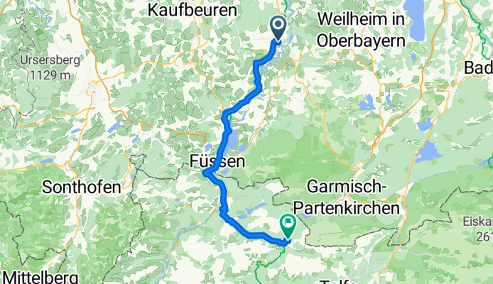

Tag 2: von Schongau nach Ehrwald
- 80.1 km
- 915 m
- 695 m
- Schongau, Bavaria, Germany
Von München zum Gardasee - Track
A cycling route starting in Schongau, Bavaria, Germany.
Overview
In the cold morning mist we ride along the Lech toward Füssen. While the sun is already shining above, clouds hang mysteriously over the water in the valley.
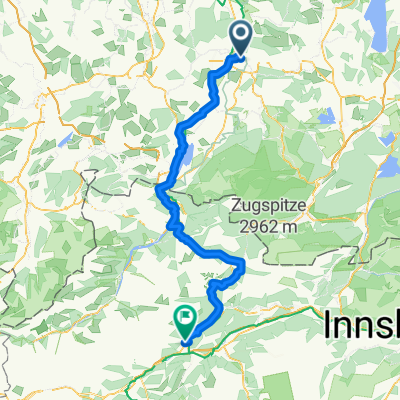
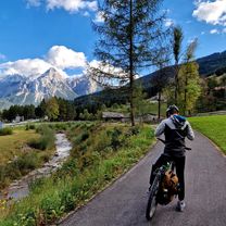
After fighting our way through the tourist crowds in Füssen, the route takes us through quiet, sunny valleys in Tyrol up to the foot of the Zugspitze.
created this 2 months ago
Part of
6 stages


Route quality
Quiet road
28.8 km
(36 %)
Track
19.2 km
(24 %)
Paved
71.3 km
(89 %)
Unpaved
7.2 km
(9 %)
Asphalt
69.7 km
(87 %)
Loose gravel
4 km
(5 %)
Continue with Bikemap
You would like to ride Tag 2: von Schongau nach Ehrwald or customize it for your own trip? Here is what you can do with this Bikemap route:
Free trial for 3 days, or one-time payment. More about Bikemap Premium.
Discover more Premium features.
Get Bikemap PremiumFrom our community
Open it in the app