
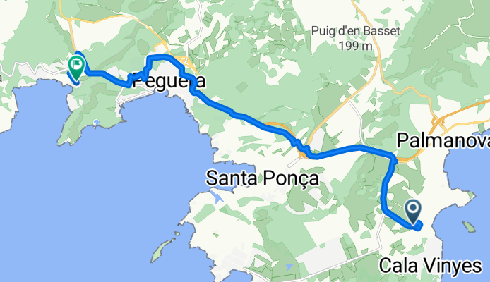
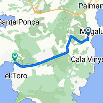
Camí Porrassa (11050) z Camí Salinar
A cycling route starting in Magaluf, Balearic Islands, Spain.
Overview
About this route
- 52 min
- Duration
- 15 km
- Distance
- 267 m
- Ascent
- 257 m
- Descent
- 17.2 km/h
- Avg. speed
- 94 m
- Max. altitude

Route quality
Waytypes & surfaces along the route
Waytypes
Cycleway
8.7 km
(58 %)
Quiet road
3.1 km
(21 %)
Surfaces
Paved
14.2 km
(95 %)
Asphalt
7.9 km
(53 %)
Concrete
5.1 km
(34 %)
Continue with Bikemap
Use, edit, or download this cycling route
You would like to ride Camí Porrassa (11050) z Camí Salinar or customize it for your own trip? Here is what you can do with this Bikemap route:
Free features
- Save this route as favorite or in collections
- Copy & plan your own version of this route
- Sync your route with Garmin or Wahoo
Premium features
Free trial for 3 days, or one-time payment. More about Bikemap Premium.
- Navigate this route on iOS & Android
- Export a GPX / KML file of this route
- Create your custom printout (try it for free)
- Download this route for offline navigation
Discover more Premium features.
Get Bikemap PremiumFrom our community
Other popular routes starting in Magaluf
 majoreczka
- Distance
- 62.2 km
- Ascent
- 1,097 m
- Descent
- 1,145 m
- Location
- Magaluf, Balearic Islands, Spain
 Majorka
- Distance
- 47.1 km
- Ascent
- 717 m
- Descent
- 781 m
- Location
- Magaluf, Balearic Islands, Spain
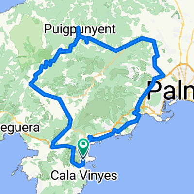
 Mallorca a peu: ponent de la badia de Palma (1)
- Distance
- 8.7 km
- Ascent
- 146 m
- Descent
- 146 m
- Location
- Magaluf, Balearic Islands, Spain
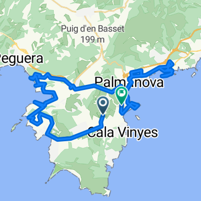
 Mallorca: sa Porrassa-cales de ponent de la badia de Palma-cap de cala Figuera-cala Refaubetx-el Toro-sa Porrassa
- Distance
- 32.4 km
- Ascent
- 379 m
- Descent
- 376 m
- Location
- Magaluf, Balearic Islands, Spain
 majorka traska rowerowa
- Distance
- 49.1 km
- Ascent
- 1,270 m
- Descent
- 1,271 m
- Location
- Magaluf, Balearic Islands, Spain
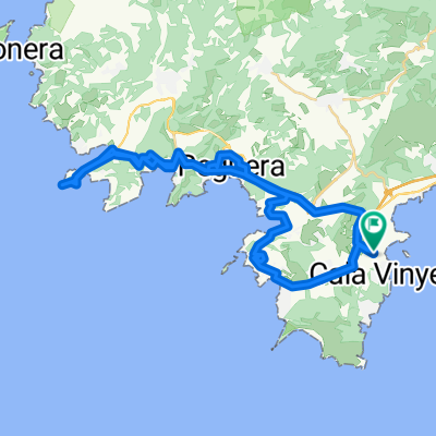
 Mallorca: Magaluf-cap de cala Figuera-el Toro-Santa Ponça-Peguera-es Capdellà-Magaluf
- Distance
- 48 km
- Ascent
- 467 m
- Descent
- 468 m
- Location
- Magaluf, Balearic Islands, Spain
 Mallorca: Son Bugadelles-es Capdellà-Andratx-s'Arracó-Sant Elm-Port d'Andratx-es Camp de Mar-Peguera-es Capdellà-Calvià-Son Bugadelles
- Distance
- 58.3 km
- Ascent
- 725 m
- Descent
- 726 m
- Location
- Magaluf, Balearic Islands, Spain
 Majorca route 1 (Magaluf)
- Distance
- 6.5 km
- Ascent
- 29 m
- Descent
- 24 m
- Location
- Magaluf, Balearic Islands, Spain
Open it in the app