
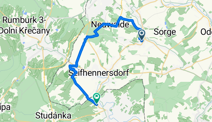
Route von Seifhennersdorfer Straße, Leutersdorf
A cycling route starting in Leutersdorf, Saxony, Germany.
Overview
About this route
- 34 min
- Duration
- 12.5 km
- Distance
- 157 m
- Ascent
- 188 m
- Descent
- 21.8 km/h
- Avg. speed
- 456 m
- Max. altitude
Route photos

Route quality
Waytypes & surfaces along the route
Waytypes
Track
6.6 km
(53 %)
Quiet road
4.5 km
(36 %)
Surfaces
Paved
5.3 km
(42 %)
Unpaved
2.6 km
(21 %)
Concrete
3.9 km
(31 %)
Unpaved (undefined)
1.5 km
(12 %)
Continue with Bikemap
Use, edit, or download this cycling route
You would like to ride Route von Seifhennersdorfer Straße, Leutersdorf or customize it for your own trip? Here is what you can do with this Bikemap route:
Free features
- Save this route as favorite or in collections
- Copy & plan your own version of this route
- Sync your route with Garmin or Wahoo
Premium features
Free trial for 3 days, or one-time payment. More about Bikemap Premium.
- Navigate this route on iOS & Android
- Export a GPX / KML file of this route
- Create your custom printout (try it for free)
- Download this route for offline navigation
Discover more Premium features.
Get Bikemap PremiumFrom our community
Other popular routes starting in Leutersdorf
 Seifhennersdorfer Straße, Leutersdorf nach Seifhennersdorfer Straße, Leutersdorf
- Distance
- 29.3 km
- Ascent
- 333 m
- Descent
- 334 m
- Location
- Leutersdorf, Saxony, Germany
 Tanneberg-Lausche-Hochwald-OSee-Stolleberg
- Distance
- 65.4 km
- Ascent
- 1,152 m
- Descent
- 1,152 m
- Location
- Leutersdorf, Saxony, Germany
 maennertag teil2
- Distance
- 78.8 km
- Ascent
- 147 m
- Descent
- 354 m
- Location
- Leutersdorf, Saxony, Germany
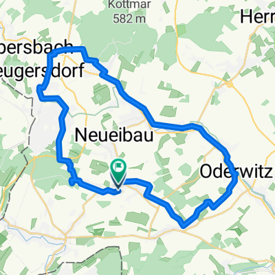
 Zittauer Gebirge
- Distance
- 53.2 km
- Ascent
- 433 m
- Descent
- 434 m
- Location
- Leutersdorf, Saxony, Germany
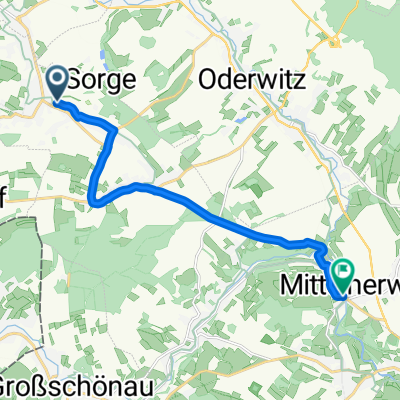 Seifhennersdorfer Straße, Leutersdorf nach Sportzentrum, Mittelherwigsdorf
- Distance
- 10.8 km
- Ascent
- 62 m
- Descent
- 175 m
- Location
- Leutersdorf, Saxony, Germany
 Kurze Radrunde vom 25. Juni, 17:08
- Distance
- 8 km
- Ascent
- 109 m
- Descent
- 110 m
- Location
- Leutersdorf, Saxony, Germany
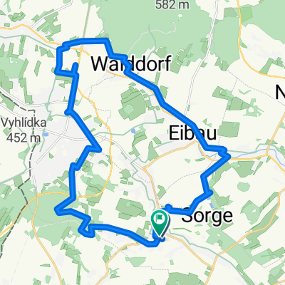
 Leutersdorfer Rundweg
- Distance
- 22.2 km
- Ascent
- 169 m
- Descent
- 169 m
- Location
- Leutersdorf, Saxony, Germany
 Spitzkunnersdorfer Straße, Leutersdorf nach Seifhennersdorfer Straße, Leutersdorf
- Distance
- 25.1 km
- Ascent
- 239 m
- Descent
- 237 m
- Location
- Leutersdorf, Saxony, Germany
Open it in the app