

Laubach-Runde
A cycling route starting in Lich, Hesse, Germany.
Overview
About this route
- 1 h 56 min
- Duration
- 31 km
- Distance
- 204 m
- Ascent
- 257 m
- Descent
- 16.1 km/h
- Avg. speed
- 231 m
- Max. altitude

Route quality
Waytypes & surfaces along the route
Waytypes
Track
15.8 km
(51 %)
Path
11.8 km
(38 %)
Surfaces
Paved
27 km
(87 %)
Unpaved
1.6 km
(5 %)
Asphalt
26.4 km
(85 %)
Ground
1.2 km
(4 %)
Continue with Bikemap
Use, edit, or download this cycling route
You would like to ride Laubach-Runde or customize it for your own trip? Here is what you can do with this Bikemap route:
Free features
- Save this route as favorite or in collections
- Copy & plan your own version of this route
- Sync your route with Garmin or Wahoo
Premium features
Free trial for 3 days, or one-time payment. More about Bikemap Premium.
- Navigate this route on iOS & Android
- Export a GPX / KML file of this route
- Create your custom printout (try it for free)
- Download this route for offline navigation
Discover more Premium features.
Get Bikemap PremiumFrom our community
Other popular routes starting in Lich
 Rund um den Schiffenberg
- Distance
- 22.4 km
- Ascent
- 217 m
- Descent
- 215 m
- Location
- Lich, Hesse, Germany
 Zur Luthereiche und weiter (MTB)
- Distance
- 53.6 km
- Ascent
- 485 m
- Descent
- 485 m
- Location
- Lich, Hesse, Germany
 Rund um Albach
- Distance
- 31.9 km
- Ascent
- 202 m
- Descent
- 203 m
- Location
- Lich, Hesse, Germany
 Garbenteich - Gießen
- Distance
- 29.3 km
- Ascent
- 170 m
- Descent
- 210 m
- Location
- Lich, Hesse, Germany
 Stunden Runde
- Distance
- 24.3 km
- Ascent
- 147 m
- Descent
- 147 m
- Location
- Lich, Hesse, Germany
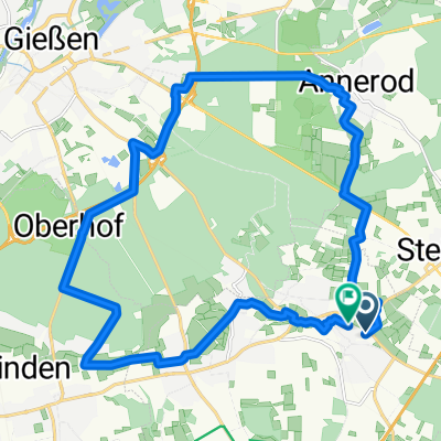
 Großen Linden, Grube Fernie und Bergwerkswald
- Distance
- 29.3 km
- Ascent
- 309 m
- Descent
- 310 m
- Location
- Lich, Hesse, Germany
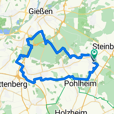
 Burg Münzenberg
- Distance
- 31.3 km
- Ascent
- 314 m
- Descent
- 348 m
- Location
- Lich, Hesse, Germany
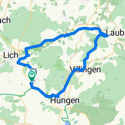 Laubach-Runde
- Distance
- 31 km
- Ascent
- 204 m
- Descent
- 257 m
- Location
- Lich, Hesse, Germany
Open it in the app