
Romantic road From Würzburg to Dinkelscherben
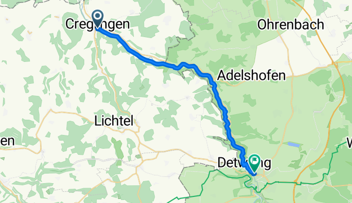
From Creglingen to Rothenburg ob der Tauber
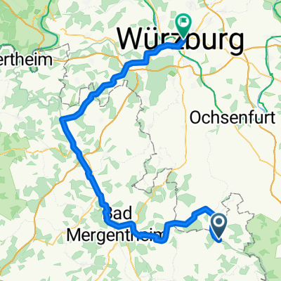
A cycling route starting in Creglingen, Baden-Wurttemberg, Germany.
Overview
About this route
- 1 h 6 min
- Duration
- 17.7 km
- Distance
- 509 m
- Ascent
- 358 m
- Descent
- 16.2 km/h
- Avg. speed
- 426 m
- Max. altitude
Part of
Route quality
Waytypes & surfaces along the route
Waytypes
Track
13.4 km
(76 %)
Quiet road
2.1 km
(12 %)
Surfaces
Paved
17.7 km
(100 %)
Asphalt
17.7 km
(100 %)
Continue with Bikemap
Use, edit, or download this cycling route
You would like to ride From Creglingen to Rothenburg ob der Tauber or customize it for your own trip? Here is what you can do with this Bikemap route:
Free features
- Save this route as favorite or in collections
- Copy & plan your own version of this route
- Sync your route with Garmin or Wahoo
Premium features
Free trial for 3 days, or one-time payment. More about Bikemap Premium.
- Navigate this route on iOS & Android
- Export a GPX / KML file of this route
- Create your custom printout (try it for free)
- Download this route for offline navigation
Discover more Premium features.
Get Bikemap PremiumFrom our community
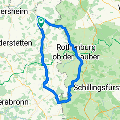
Other popular routes starting in Creglingen
 Tauber-Main_01
- Distance
- 70.8 km
- Ascent
- 675 m
- Descent
- 669 m
- Location
- Creglingen, Baden-Wurttemberg, Germany
 Creglingen - Fremdingen
- Distance
- 82.5 km
- Ascent
- 953 m
- Descent
- 782 m
- Location
- Creglingen, Baden-Wurttemberg, Germany
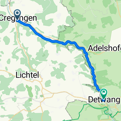 Greglingen nach Detwang 5A
- Distance
- 16.3 km
- Ascent
- 408 m
- Descent
- 348 m
- Location
- Creglingen, Baden-Wurttemberg, Germany
 Tour 2020 Etappe 6
- Distance
- 89.9 km
- Ascent
- 309 m
- Descent
- 400 m
- Location
- Creglingen, Baden-Wurttemberg, Germany
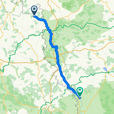
 Creglingen-Würzburg
- Distance
- 110.8 km
- Ascent
- 341 m
- Descent
- 412 m
- Location
- Creglingen, Baden-Wurttemberg, Germany
 awv60a-Creiglingen-Weikersheim Bhf
- Distance
- 18.4 km
- Ascent
- 135 m
- Descent
- 171 m
- Location
- Creglingen, Baden-Wurttemberg, Germany
 Creglingen-Freudenbach-Runde
- Distance
- 18.6 km
- Ascent
- 171 m
- Descent
- 162 m
- Location
- Creglingen, Baden-Wurttemberg, Germany
 Untere Taubertalrunde
- Distance
- 35.4 km
- Ascent
- 334 m
- Descent
- 356 m
- Location
- Creglingen, Baden-Wurttemberg, Germany
Open it in the app