
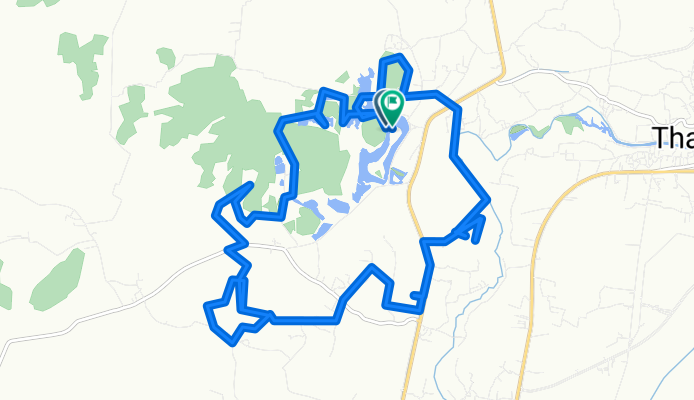
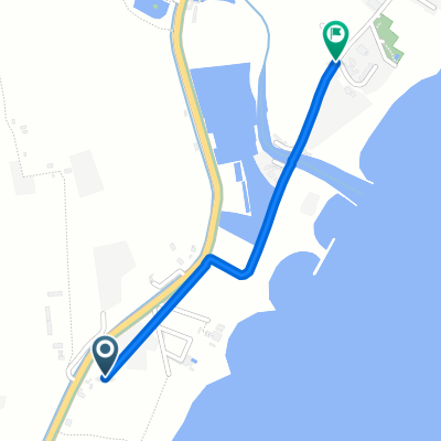
Tha Laeng, Tha Yang District to Tha Laeng, Tha Yang District
A cycling route starting in Tha Yang, Phetchaburi, Thailand.
Overview
About this route
- 2 h 9 min
- Duration
- 26.9 km
- Distance
- 262 m
- Ascent
- 265 m
- Descent
- 12.5 km/h
- Avg. speed
- 68 m
- Max. altitude

Continue with Bikemap
Use, edit, or download this cycling route
You would like to ride Tha Laeng, Tha Yang District to Tha Laeng, Tha Yang District or customize it for your own trip? Here is what you can do with this Bikemap route:
Free features
- Save this route as favorite or in collections
- Copy & plan your own version of this route
- Sync your route with Garmin or Wahoo
Premium features
Free trial for 3 days, or one-time payment. More about Bikemap Premium.
- Navigate this route on iOS & Android
- Export a GPX / KML file of this route
- Create your custom printout (try it for free)
- Download this route for offline navigation
Discover more Premium features.
Get Bikemap PremiumFrom our community
Other popular routes starting in Tha Yang
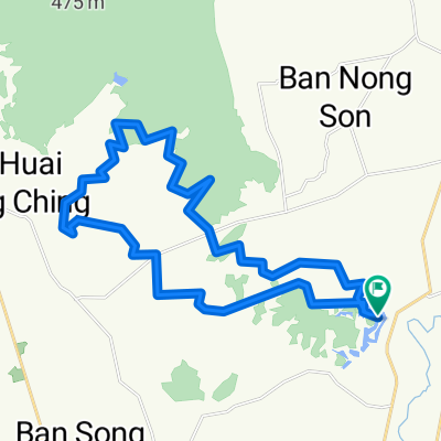
 ชั่งหัวมัน
- Distance
- 103.2 km
- Ascent
- 239 m
- Descent
- 237 m
- Location
- Tha Yang, Phetchaburi, Thailand
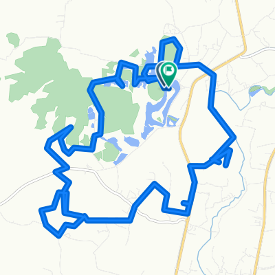 Tha Laeng, Tha Yang District to Tha Laeng, Tha Yang District
- Distance
- 26.9 km
- Ascent
- 262 m
- Descent
- 265 m
- Location
- Tha Yang, Phetchaburi, Thailand
 Tha Yang - Ban Phaeo
- Distance
- 109.3 km
- Ascent
- 108 m
- Descent
- 117 m
- Location
- Tha Yang, Phetchaburi, Thailand
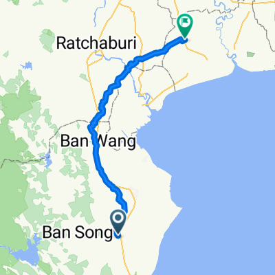
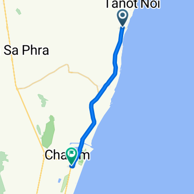
 Route to X3V4+FH7
- Distance
- 1.6 km
- Ascent
- 30 m
- Descent
- 0 m
- Location
- Tha Yang, Phetchaburi, Thailand
 Route to X2JW+8PQ
- Distance
- 1.6 km
- Ascent
- 30 m
- Descent
- 0 m
- Location
- Tha Yang, Phetchaburi, Thailand
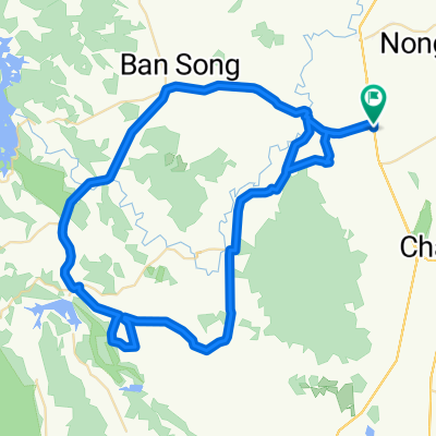
 Tha Laeng, Tha Yang District to Tha Laeng, Tha Yang District
- Distance
- 44.3 km
- Ascent
- 620 m
- Descent
- 618 m
- Location
- Tha Yang, Phetchaburi, Thailand
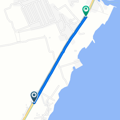
 4028, Tambon Puek tian to Amphoe Cha-am, Tambon Cha-am
- Distance
- 18 km
- Ascent
- 42 m
- Descent
- 49 m
- Location
- Tha Yang, Phetchaburi, Thailand
Open it in the app